
Washington-Rochambeau Revolutionary Route National Historic Trail
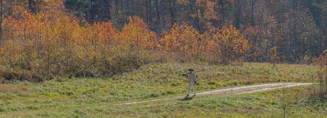
On July 11, 1780, the French General Rochambeau landed off Newport, Rhode Island with an army of 5,750 men and officers. Fifteen months later, they helped General George Washington’s forces defeat the British General Cornwallis at Yorktown. Marching from Newport, they camped on the Mason Neck of northern Virginia on lands that are now managed as the BLM's Meadowood Special Recreation Management Area (SRMA).
The Washington-Rochambeau Revolutionary Route National Historic Trail commemorates over 680 miles of land and water trails followed by the allied armies of Washington and Rochambeau. On the Meadowood SRMA, the trail transects open meadows, enters into mature hardwood forests, and crosses riparian wetlands. An archaeological investigation led by Dr. Douglas C. Comer of Cultural Site Research and Management Inc., revealed evidence of 18th century camp life including pieces of pewter, pearlware, redware and glass. The exact boundaries of the French encampment have not yet been established.
George Washington’s Mount Vernon home is not far from Meadowood. We know that Washington left there in 1775 to become Commander-in-Chief of the Continental Army. He never returned to Mount Vernon until September 9, 1781, while en route to the siege of Yorktown. He was only able to stay three days. Meadowood is located a short drive from the nation’s capital, and is approximately two hours’ drive north from Colonial Williamsburg.
Visit the National Park Service Washington-Rochambeau website for more information.