Upper Missouri River Breaks National Monument
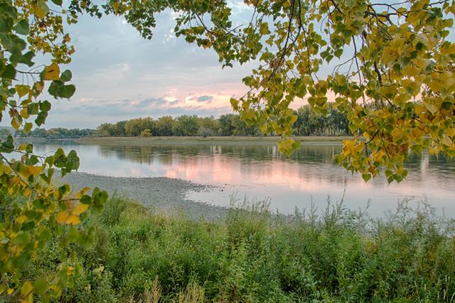
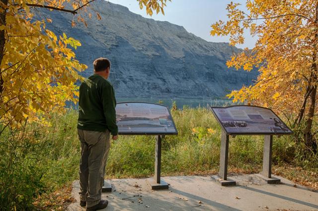
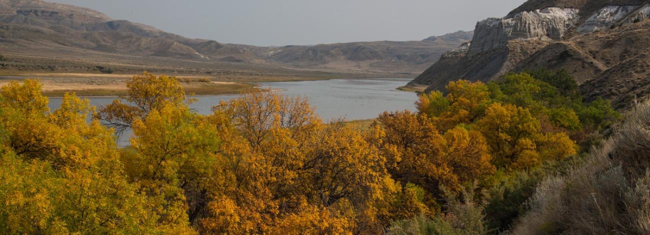
The Upper Missouri River Breaks National Monument offers a chance to explore a remote and scenic part of Montana shaped by the Missouri River. Spanning over 375,000 acres, the monument features open plains, striking cliffs, and river landscapes that remain much as they were during the Lewis and Clark Expedition. The area is home to a variety of wildlife and contains important cultural and historical sites, including those tied to Native American history and early homesteaders.
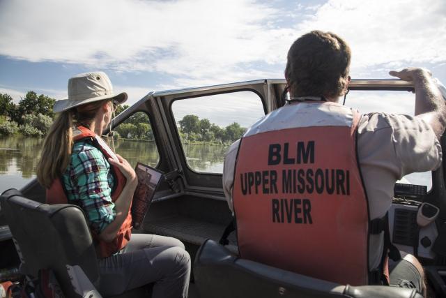
Visitors can paddle along the Upper Missouri National Wild and Scenic River, hike to overlooks, observe wildlife, or visit historic sites that tell the story of the region. Managed by the Bureau of Land Management, the monument is open throughout the year and provides opportunities for outdoor recreation, quiet exploration, and a deeper connection to the natural and cultural history of the Missouri River Breaks.