
Three Rivers Field Office
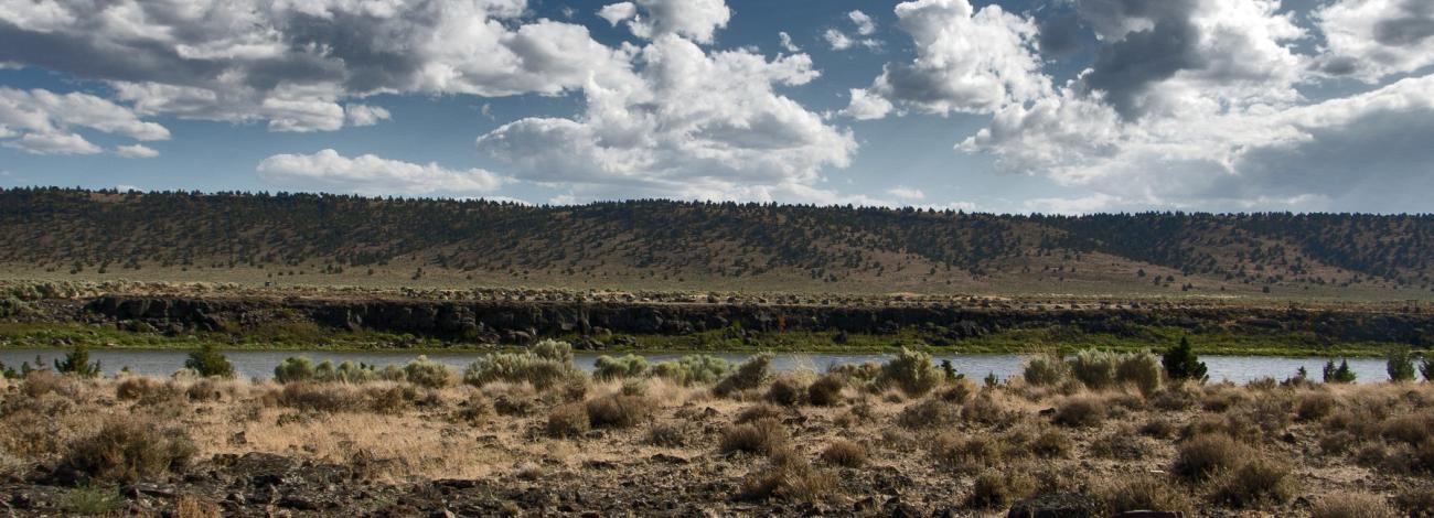
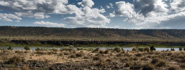
The Three Rivers Resource Area comprises the northern portion of the Bureau of Land Management’s Burns District in southeastern Oregon and includes approximately 1.68 million acres of public land characterized by expansive high-desert landscapes. The area is defined by a broad sagebrush sea, interspersed with juniper woodlands, rimrock, rolling rangelands, and seasonal and perennial streams and springs, reflecting the region’s Basin and Range geology and arid climate. Subtle elevation changes and gently undulating terrain shape a working landscape that supports both ecological diversity and traditional land uses. The resource area also includes approximately 9,000 acres of forested ground, primarily ponderosa pine and mixed conifer, which provide important wildlife habitat, watershed function, and opportunities for forest and fuels management. Public-land stewardship in the Three Rivers Resource Area emphasizes multiple-use management, including sustainable livestock grazing, wildlife and sagebrush habitat conservation, wild horse management, forest treatments, and protection of riparian and water resources. Recreational opportunities include dispersed camping, hunting, hiking, wildlife viewing, and backcountry travel, offering visitors a chance to experience the distinctive sagebrush landscapes of northern Harney County.
Leadership
Brian Christensen
Latest News
Contact
Hines, OR 97738
TTY/Relay System
If you are deaf, hard of hearing, or have a speech disability, please dial 7-1-1 to access telecommunications relay services.