
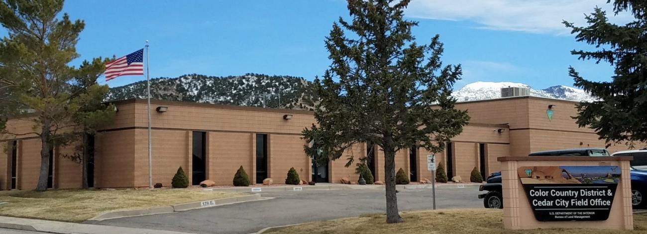
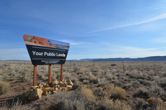
Cedar City Field Office
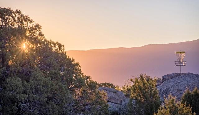
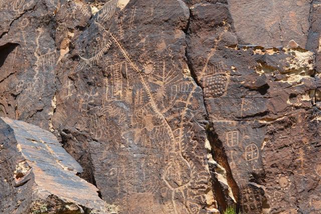
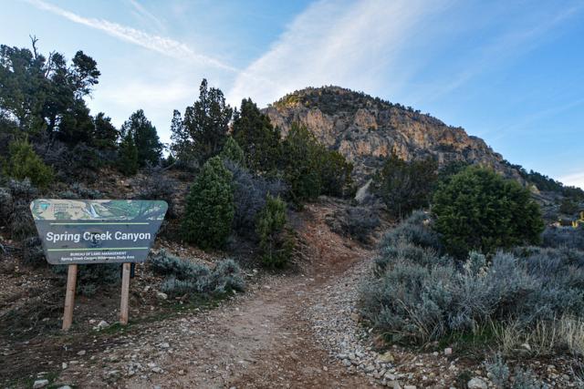
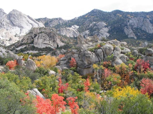
The Color Country District Office and Cedar City Field Office are co-located in southwest Utah’s Iron County, while managing public land in Beaver County. Characterized by vast acres of sagebrush and pinyon-juniper foothills, the region offers a variety of landscapes ranging from salt desert shrub flats to high mountains with riparian, aspen, and bristlecone pine communities. Mountain ranges include the Mineral Mountains, Wah Wah Mountains, and the Indian Peak Mountain Range. The Field office is home to a variety of species including the Rocky Mountain Elk, Mule Deer, Antelope, Greater Sage Grouse, and Wild Horses. The Field Office is generally quite remote and offers a wide variety of dispersed recreation. The Parowan Gap, a deep, narrow gorge west of Summit, Utah, is renowned as a site of great importance to the Paiute Indians and others for many reasons, including the Fremont era petroglyphs etched on the canyon walls.
The Cedar City Field Office manages approximately 2.2 million acres of public land and lends support services to three other Southern Utah field offices. The Color Country District Office manages one of the largest, if not the largest landscape restoration programs in the United States, proactively treating approximately 40,000 acres of public land annually.
Leadership
Latest News
Contact
Cedar City, UT 84721
TTY/Relay System
If you are deaf, hard of hearing, or have a speech disability, please dial 7-1-1 to access telecommunications relay services.