
Payette River | Idaho
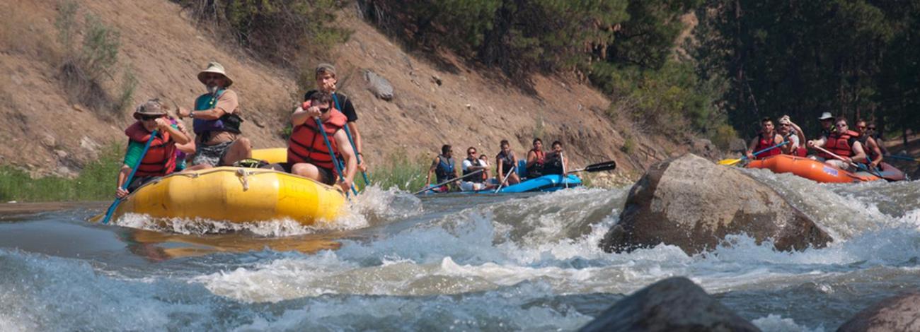
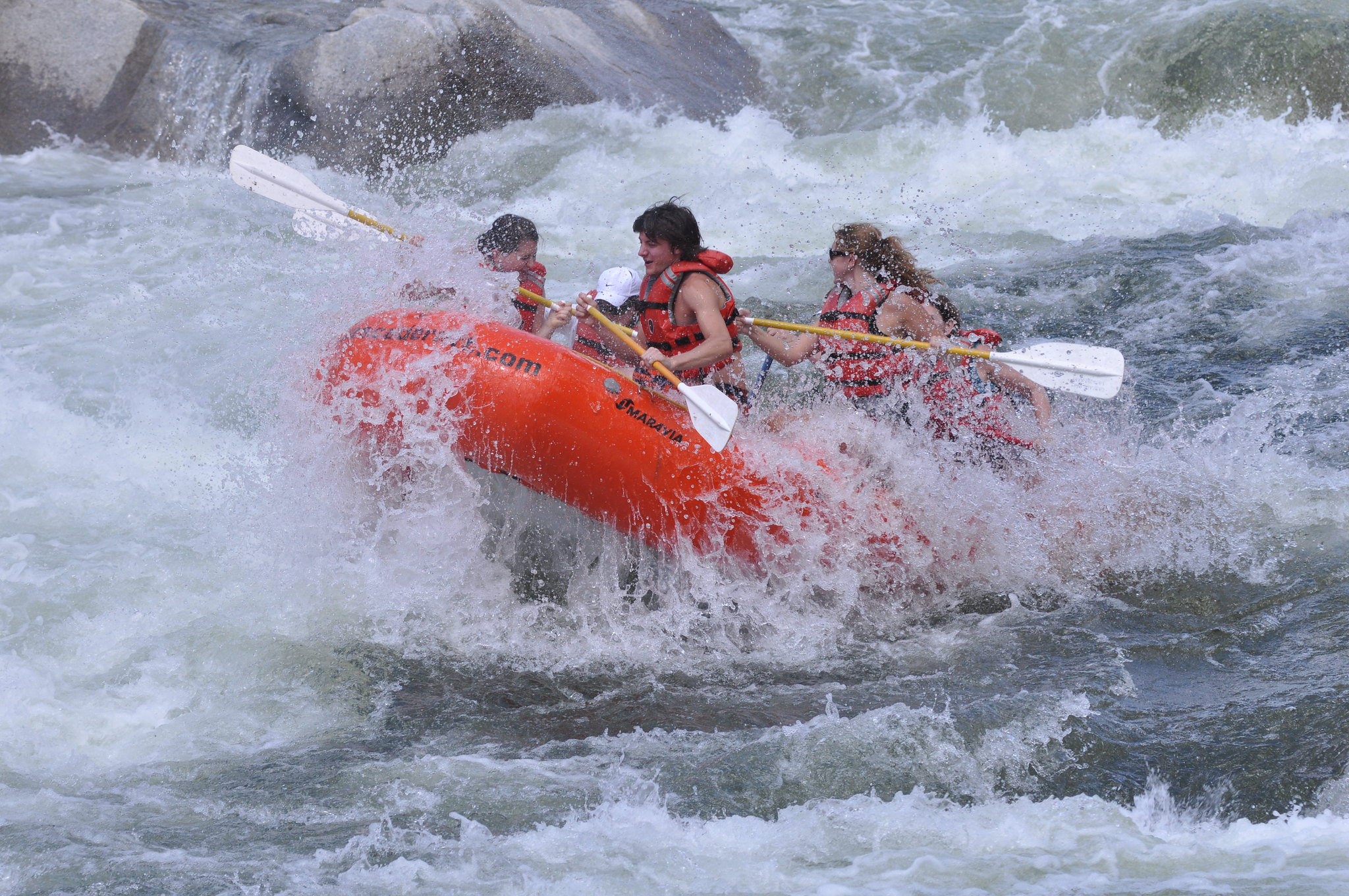
The Payette River provides white-water opportunities for boaters of all experience levels. The Main Payette offers the beginner a chance to hone their skills on Class I to III rapids. The Cabarton Section of the North Fork (Class II to IV) and the Staircase Section of the South Fork (Class III to IV) allow the intermediate boater to improve their skills. The Canyon Section of the South Fork is for Class IV boaters to enjoy. The North Fork Payette is for advanced Class V kayakers.
In an average year, streams carry more than 100 billion cubic feet of water from the high country, mostly in April and August. Dams at Cascade and Deadwood Reservoirs augment rivers flows as the runoff subsides, often extending the whitewater boating season into the fall.
The Payette River System is a Federal Fee Site cooperatively managed by the BLM and Boise National Forest. Daily permits or a Boise National Forest Annual Day Use Pass are required for parking.
Purchase online Boise National Forest Annual Day Use Pass
Photos

Related Links
Know Before You Go
Contact Us

Activities


Addresses
Directions
From Boise take State Highway 55 north past Horseshoe Bend. The Highway follows the Payette River. The South Fork Payette joins the North Fork Payette at Banks, Idaho.
Fees
$5/day use pass or or $30/Boise National Forest Annual Day Use Pass.