
Payette River: Chief Parrish | Idaho
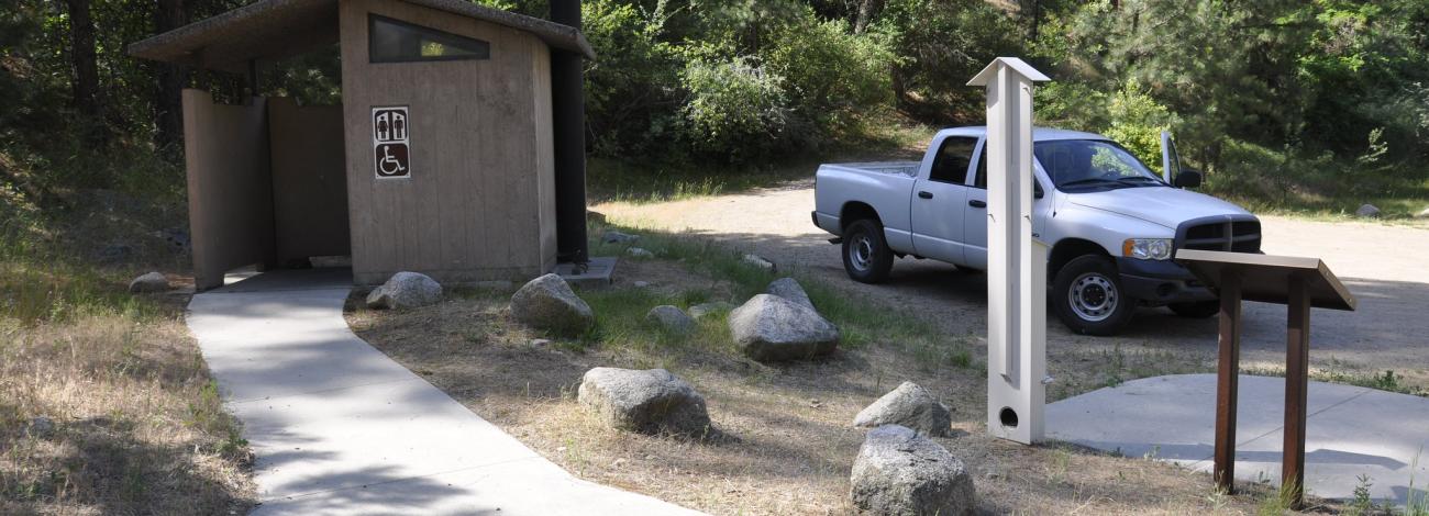
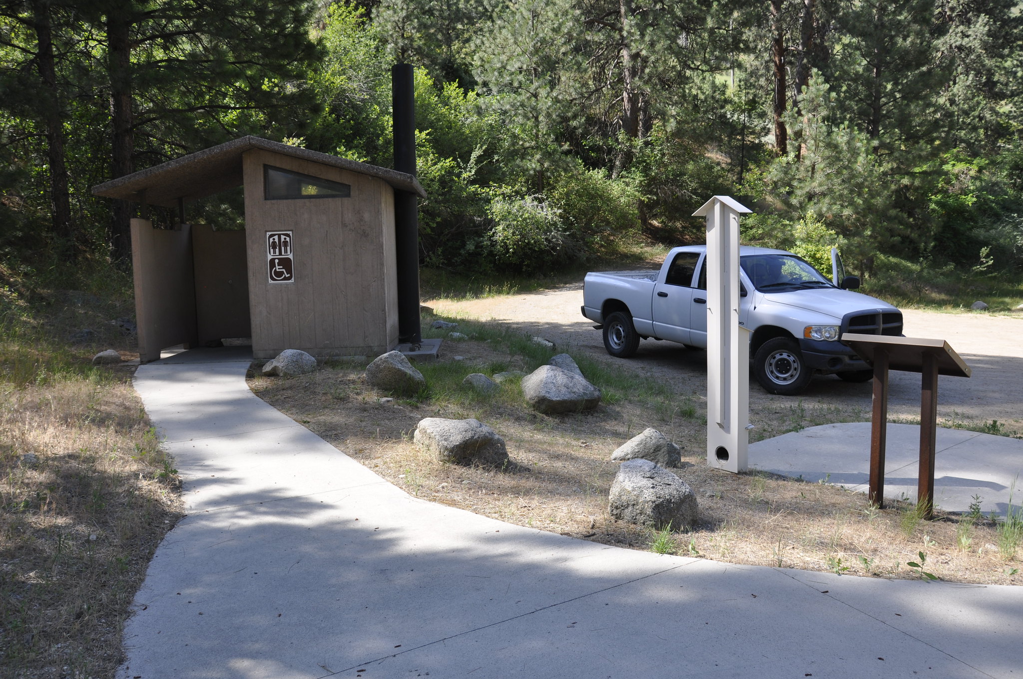
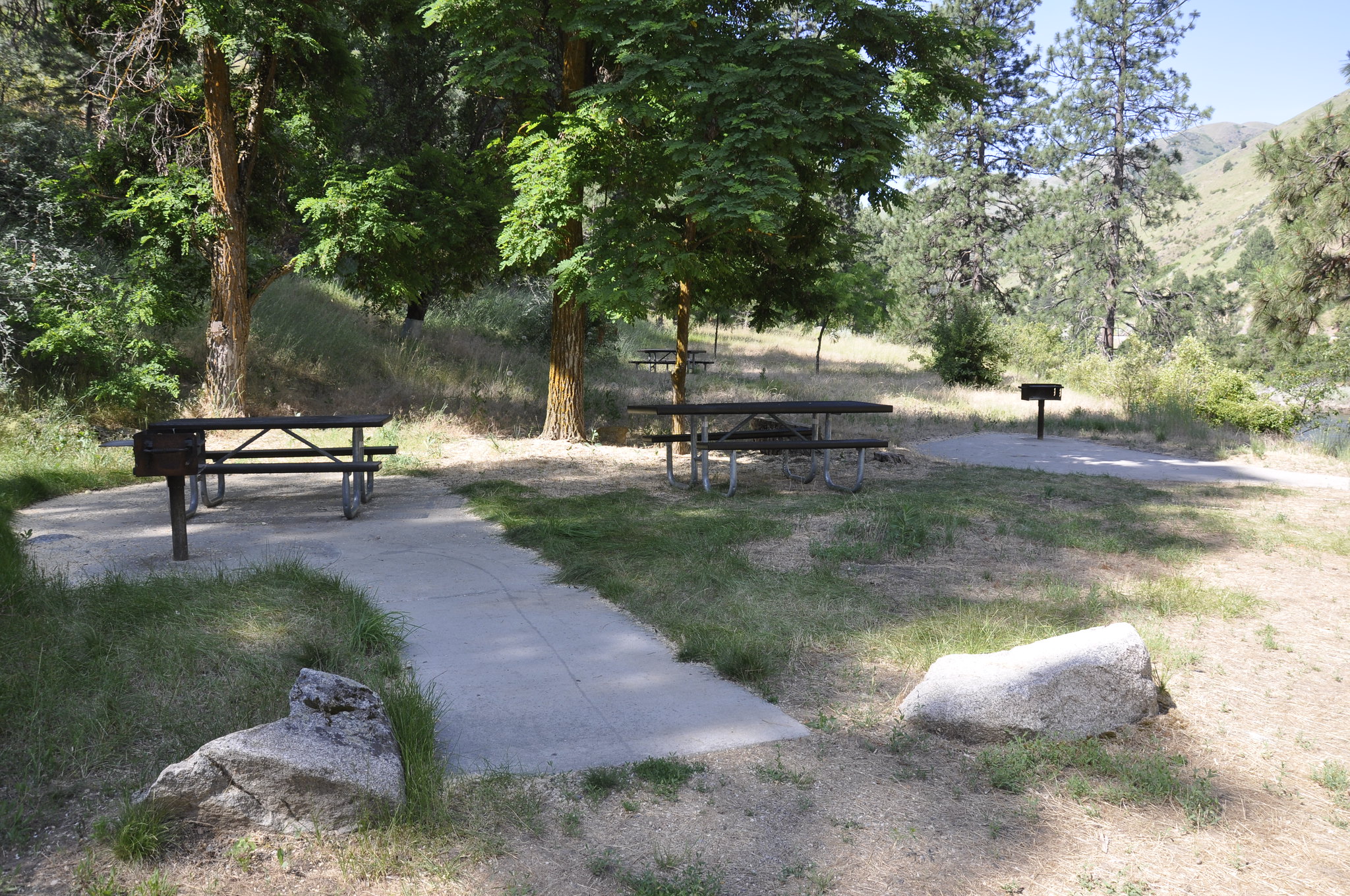
The Main Payette River is a classic Class III, pool-drop river cooperatively managed by the BLM and Boise National Forest. Chief Parrish is located about half way along the Main Payette River between Banks and Beehive Bend. This site is used as a launch or take-out spot primarily used by kayakers. The site is also a popular picnicking site. The facilities include a small, gravel parking area, vault toilet, and three picnic tables. This is a fee parking area - $5.00/day or $30.00 season pass for the Boise National Forest Annual Day Use Pass. Day passes are available on-site.
Purchase online Boise National Forest Annual Day Use Pass
Photos
Related Links
Know Before You Go
Contact Us

Activities


Addresses
Geographic Coordinates
Directions
Chief Parrish is about two miles north of Beehive Bend Take-out Site and approximately eight miles north of Horseshoe Bend on Highway 55. Highway signs point out the location.
Fees
Parking: $5/day; or $30/Boise National Forest Annual Day Use Pass.