
Delaney Creek | Idaho
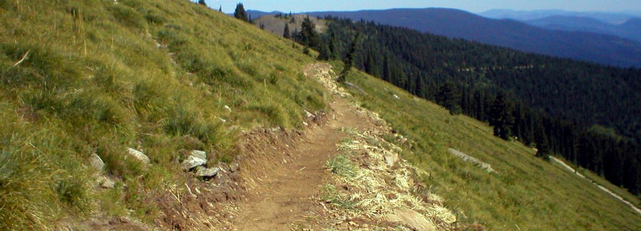
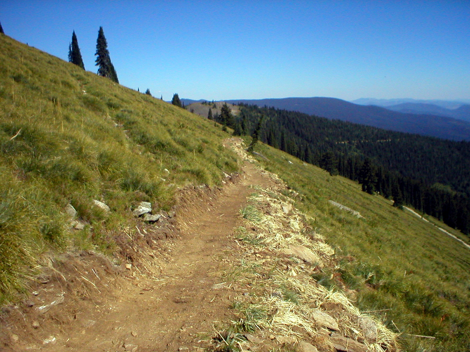
The Delaney Creek National Recreation Trail is part of a 45 mile trail network that provides access through the Widow Mountain Wilderness Study Area. The trail is 4.25 miles one way with an elevation range of 4400-6400 feet. The area has an intermingled ownership and is jointly administered with the Forest Service. The trail descends steeply from a high open ridge through dense forest and intersects with the Marble Creek Trail. Historic features include remnants of logging camps and cabins.
Photos
Know Before You Go
Contact Us
This site is managed by Coeur d'Alene Field Office; visit their page for office hours and directions.

Activities

Addresses
3232 W. Nursery Rd
Coeur d'Alene
Idaho
83815
Directions
26 miles east of Clarkia, ID. From Highway 3 at Clarkia take Forest Road 301 for 26 miles.
Fees
No fees.
Stay Limit
14 Days