
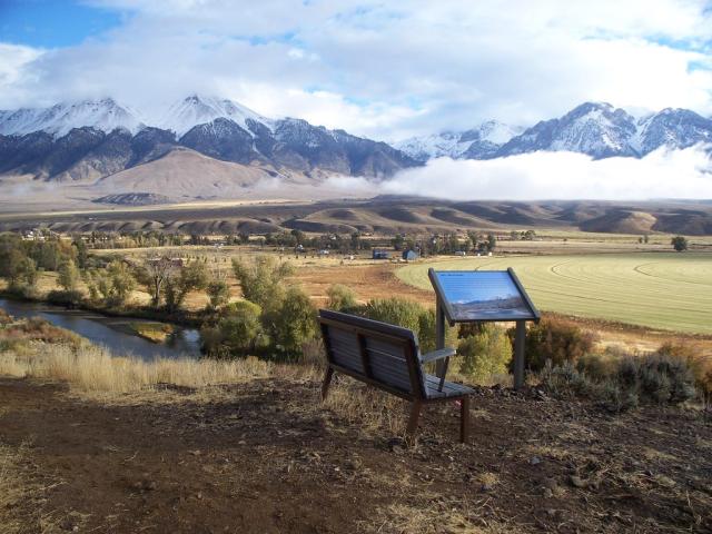
Big Lost River Access Trail | Idaho
This 2.5 - 3 mile trail has been a community effort. Please respect the adjacent private property by staying on the trail and using non-motorized means to get to the river. For motorized recreationists, the old road from here up Blaze Canyon to the Windy Devil communication tower is a designated off-highway vehicle (OHV) trail. There is typically cell service at this site.
Photos
Related Links
Know Before You Go
Contact Us

Activities


Addresses
Challis Field Office
721 East Main Ave Suite 8
Challis
Idaho
Geographic Coordinates
43.91472222, -113.6372222
Directions
Approximately 1 mile northwest of Mackay, Idaho along the Big Lost River. Turn west off of Hwy. 93 onto Main St. in Mackay. Continue south; Main Street turns into Smelter Road and crosses the Big Lost River (there is a signed IDF&G public river access on the southeast side of the bridge). Proceed approximately 1 mile, cross the cattleguard and turn right. Follow this road approximately 2 miles to the signed day use parking area for the Big Lost River Access Trail, located on the north side of the road.