
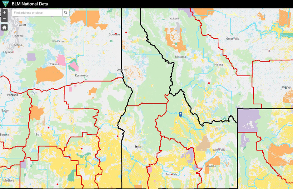
Click to View Map in New Window
*Please note that GIS data in the BLM National Map may differ from Idaho specific data downloads below.
BLM IDAHO GIS AND DATA MANAGEMENT
The BLM Idaho GIS Data page allows users to download geospatial datasets as shapefiles. These datasets are updated as needed. Users of the data should refer to the metadata with any specific questions. No warranty is made by the BLM for use of the data for purposes not intended by the BLM.
Please note that this list does not represent the entirety of BLM Idaho's geospatial data. More datasets will be made available for external distribution as they pass internal BLM QA/QC benchmarks.
Administrative Boundaries
This category includes themes having to do with units of administration such as field office boundaries and office locations.
BLM Administrative Office (Point) | Shapefile | Search Result/Metadata |
BLM District Office Administrative Unit Boundary (Polygon) | Shapefile | Search Result/Metadata |
BLM Field Office Administrative Unit Boundary (Polygon) | Shapefile | Search Result/Metadata |
Fire & Aviation
This category includes themes having to do with fire and aviation such as fire perimeters.
FIRE FMPA Fire Management Plan Area (Polygon) | Shapefile | Search Result/Metadata |
FIRE FMPA Fire Management Unit (Polygon) | Shapefile | Search Result/Metadata |
Fire Perimeters Current (Polygon) | Shapefile | Search Result/Metadata |
Fire Perimeters Historic (Polygon) | Shapefile | Search Result/Metadata |
Wildland Fire Communities at Risk (Point) | Shapefile | Search Result/Metadata |
Wildland Fire Dispatch Centers (Polygon) | Shapefile | Search Result/Metadata |
Lands
This category includes themes such as surface management agency or land ownership and Areas of Critical Environmental Concern (ACECs).
Surface Management Agency (Surface Ownership) (Polygon) | Shapefile | Search Result/Metadata |
National Conservation Lands
This category includes themes which fall under BLM's National Conservation Lands and includes spatial data for National Monuments, National Conservation Areas, Wild and Scenic Rivers, and much more.
Craters of the Moon National Monument and Preserve Administrative Boundaries (Polygon) | Shapefile | Search Result/Metadata |
Historic Wilderness Study Areas (Polygon) | Shapefile | Search Result/Metadata |
NLCS National Monument & National Conservation Area (Polygon) | Shapefile | Search Result/Metadata |
NLCS Wilderness (Polygon) | Shapefile | Search Result/Metadata |
NLCS Wilderness Study Areas (WSA) (Polygon) | Shapefile | Search Result/Metadata |
Planning
This category includes themes having to do with planning and land management data including land use planning boundaries and office or area specific planning activities.
BLM Designated ACEC Polygon Feature Class | Shapefile | Search Result/Metadata |
BLM Historic ACEC Polygon Feature Class | Shapefile | Search Result/Metadata |
BLM Land Use Planning Areas (Polygon) | Shapefile | Search Result/Metadata |
Idaho Army National Guard Artillery Impact Area (Polygon) | Shapefile | Search Result/Metadata |
Land Use Planning Existing (Polygon) | Shapefile | Search Result/Metadata |
Mountain Ranges (Polygon) | Shapefile | Search Result/Metadata |
Orchard Training Area Boundary (Polygon) | Shapefile | Search Result/Metadata |
Orchard Training Area Impact Boundary (Polygon) | Shapefile | Search Result/Metadata |
Transportation
This category contains themes having to do with transportation including travel management and off highway vehicle (OHV) use.
BLM Craters Laidlaw Driving Tour Map | CarryMap File | Search Result/Metadata |
Transportation Routes and GTLF (Line) | Geodatabase and Layer File | Search Result/Metadata |