Geospatial Management
The Bureau of Land Management Alaska geospatial program manages a broad spectrum of geospatial products in support of the 72 million acres of BLM Managed lands across Alaska.
DATA Geospatial data holdings include nationally published datasets to support planning and resource management and state specific lands datasets unique to Alaska.
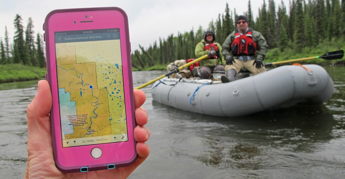
MAPPING Mapping products include our geo-referenced Digital Public Information Map and Subsistence Hunting PDF Map series to support the public’s mapping needs for recreating and hunting.
IMAGERY The geospatial program recently partnered with USGS to digitally scan historical imagery collected over the last 50 years and publishing these historically relevant images to USGS’s Earth Explorer.
BLM Alaska's public GIS data holdings can be downloaded or accessed through web services with the links organized by category below. Please note that the published GIS datasets may not represent the entirety of BLM Alaska's geospatial data and additional dataset may be added.
- Administrative Boundaries
- BLM Alaska Administrative Units (District/Field Offices) (Download Data | Map Service)
- BLM Alaska Land Use Planning Boundaries (Download Data | Map Service)
- Other Nationally Designated Areas in Alaska (Download Data | Map Service)
- Cadastral Survey
- Protracted Section Grid (Download Data | Map Services)
- Protracted Township Grid (Download Data | Map Services)
- Surveyed Lands (Download Data | Map Services)
- Surveyed Corners (Download Data | Map Services)
- Surveyed Boundaries (Download Data | Map Services)
- Surveyed Ties (Download Data | Map Services)
- Energy and Minerals
- Authorized Oil and Gas Leases within NPR-A (Download Data | Map Service)
- Coastal Plain Oil and Gas Lease Tracts (Download Data)
- Federal Mining Claims (Download Data | Map Service)
- Federal Mining Plans of Operations and Notices (Download Data | Map Service)
- Lands
- Administered Lands / Surface Management Agency (SMA) (Download Data | Map Service)
- Areas of Critical Environmental Concern (Download Data | Map Service)
- Conveyed Native Allotments (Download Data | Map Service)
- Easements, 17(b) - Line (Download Data | Map Service)
- Easements, 17(b) - Point (Download Data | Map Service)
- Land Withdrawals (Download Data | Map Service)
- Lands Conveyed to Native Corporation/Village (Download Data | Map Service)
- Lands Conveyed to Private Entities (Download Data | Map Service)
- Lands Conveyed to State of Alaska (Download Data | Map Service)
- Lands Selected and Topfiled by State of Alaska (Download Data | Map Service)
- Lands Selected by Native Corporation/Village (Download Data | Map Service)
- Miscellaneous Title Transfers (Download Data | Map Service)
- Unencumbered BLM Lands (Download Data | Map Service)
- National Conservation Lands
- NLCS National Conservation Areas (Download Data | Map Service)
- NLCS Wild and Scenic River Corridors (Download Data | Map Service)
- NLCS Wild and Scenic Rivers (Download Data | Map Service)
- NLCS Wilderness Study Areas (Download Data | Map Service)
- Transportation
- Ground Transportation Linear Features (GTLF) (Download Data | Map Service)

