
Musselshell Breaks Wilderness Study Area
Values
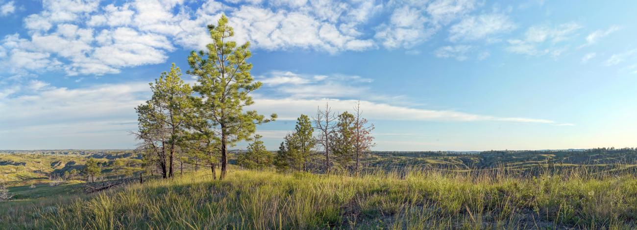
The Musselshell Breaks WSA is an area of steep ridges and coulees cut into soft shales and sandstone. Ridges and coulees tilt and drain toward the adjacent Musselshell River. Vegetation is primarily prairie grasses with scattered ponderosa pine and juniper. Native wildflowers accent the landscape in late spring and early summer. The steep terrain provides seclusion for wildlife, including deer and elk.
Visitation
From Winnette, MT, drive Highway 200 east approximately 26 miles to Old Stage Road, which is about ½ mile past the highway crossing of Sagehen Creek. Drive north about 5 1/2 miles to Barney Pinnacle (which is really a hill, not a pinnacle). From this point on, the WSA in on the west side of the Road for approximately 6 miles. The road passes through BLM and private lands; look for “entering” and “leaving public land” signs to remain on BLM lands when entering the WSA.
Visitor Advisory
The Old Stage Road is gravel, but some portions of the road may be impassable when wet and muddy conditions exist. Drivers should be cautious of wash-outs following heavy rain. Be aware of rapidly changing weather conditions. Rattlesnakes are common in the area. Please respect private property - do not trespass.