A selection of gear used for field data collection laying on the ground, including paper and electronics

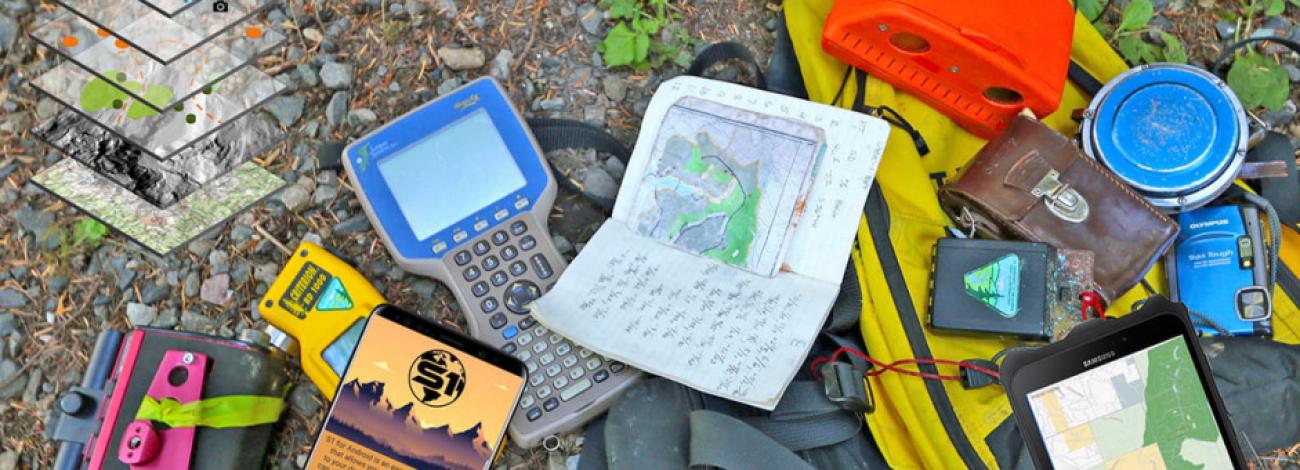
S1 Mobile Mapper Application for Android

What is it?

S1 Mobile for Android Application

The S1 Mobile Mapper is a custom mapping and field data collection application built for Android mobile devices by the Oregon/Washington Mobile GIS team, sponsored by Bureau of Land Management, Oregon/Washington State Office.

Why would you use it?

Public Users

The S1 Mobile Mapper mobile application provides the public with a simple way to download and view BLM (Oregon/Washington only) and U.S. Forest Service maps (whole U.S) for use offline while enjoying recreational activities on public lands. The public version of the app also has the ability to navigate to user defined locations, create Tracklogs, Waypoints, Sketches, and capture GeoTag photos.

Agency Users

Given that agency field personnel commonly work in remote areas with no network access, this application's emphasis is on the display, collection and update of geospatial data and attributes in an offline environment. Content is downloaded to the mobile device when connected to the internet then offline edits are synced back to servers when network connectivity is available again.

The S1 Mobile Mapper is designed to allow offline mobile field data collection capabilities not available using commercial mapping applications and to meet the specific data collection needs of the OR/WA BLM Mobile GIS program. The application leverages web services from ArcGIS organizational accounts and internal ArcGIS Server web services to distribute, collect, and update Geographic Information Systems (GIS) information by agency field personnel.

App News

  • 09/23/25: The Oregon/Washington mobile team is planning to deprecate and remove the S1 Mobile Mapper for Android application from the public and Enterprise app stores around the end of calendar year 2025.  More details to come as that time gets closer.  We are moving away from this custom mobile application and moving towards the use of ESRI Field Maps mobile application and commercial off the shelf (COTS) solutions for our internal mobile data collection workflows.   If you are a public user with it currently installed on your device, it will not stop working once we remove it from the store, but you will no longer be able to install it from the store and it will likely stop working at some point when it runs up against an OS or security update that breaks it. There is another BLM-sponsored mobile application in development from the national mobile group that should have similar functionality to the publicly available tools to users of the S1 Mobile Mapper application.  This new mobile app should be available for both Android and iOS devices once they have been tested an approved for distribution.  We do not have a release date for this new mobile app or an official name yet, but will post that info once it's available.
  • 12/05/24: New version of S1 released to address an issue that was found related to external Bluetooth GPS receivers and Android 14. This build should address the issue.
  • 08/09/24: Version 5.4.012 of the S1 Mobile Mapper app is now available in the Google Play Store for download. This hot fix addresses an issue that arose from other updates, which was causing the S1 Mobile Mapper app to crash when enabling Tracklogs.
    This hot fix also includes a related bug fix that affected feature service editing when using streaming mode. Both Tracklogs and feature editing in streaming mode now work as expected.

Release Notes

logo   Get it on Google play