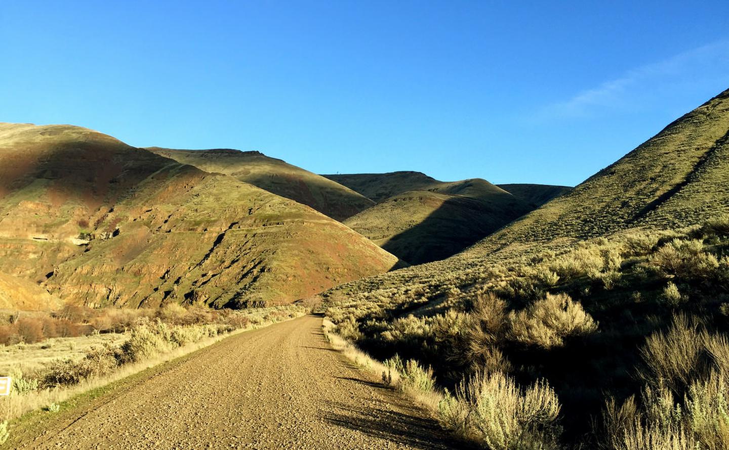
Lower Deschutes River Back Country Byway

Spanning 32 miles along the east bank of the Lower Deschutes Wild and Scenic River, this back country byway offers close-up views of rapids and steep canyon country. Twelve paved miles originate from the hamlet of Maupin and connect to state highway 216 near Sherar’s Falls. The remainder of the byway is surfaced with high-standard gravel, suitable for passenger vehicles. Twenty-two developed recreation sites offer year-round river access including 4 boat launches, 7 day-use areas, and 10 campgrounds with 140 individual campsites and 21 group campsites. The byway terminates to the south at Locked Gate Day-Use Area and to the north at Macks Canyon Campground.

Know Before You Go:

  • Cell phone service is limited or not available in most locations along the back country byway.
  • Watch for bicyclists: portion of the paved section of road is a segment of Sherar's Falls Scenic Bikeway
  • Boater Passes are required year-round, for both day and overnight use, for anyone using a watercraft or any other floating device as a means of transport on the Lower Deschutes River. See the Boater Pass link elsewhere on this page for further information.
    • Developed recreation sites along the back country byway are available on a first-come, first-served basis.
      Recreation and Cultural Sites South of Maupin, Oregon (ordered south to north)
      Recreation and Cultural Sites North of Maupin, Oregon (ordered south to north)
      • Oasis Campground
      • Grey Eagle Day-Use Area
      • Blue Hole Campground
      • Lower Blue Hole Day-Use Area
      • Oak Springs Day-Use Area
      • Surf City Day-Use Area
      • White River Campground
      • Sandy Beach Day-Use Area
      • Buckhollow Day-Use Area
      • Pine Tree Day-Use Area
      • Twin Springs Campground
      • Oakbrook Day-Use Area
      • Jones Canyon Campground
      • Beavertail Campground
      • Rattlesnake Canyon Campground
      • Macks Canyon Campground

Point of Interest:

Much of the back country byway was a former railbed, one of two whose owners feverishly competed for completion in the early 19th century. Today, the historic Section Foreman's House remains alongside the road just south of Maupin. Open seasonally, the building is restored to historically-authentic condition and offers interpretive displays and general river information.

Photos

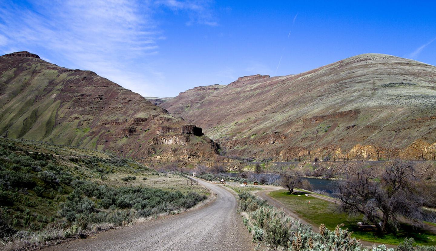
The northern terminus of the Lower Deschutes Back Country Byway at Macks Canyon campground.
Bureau of Land Management
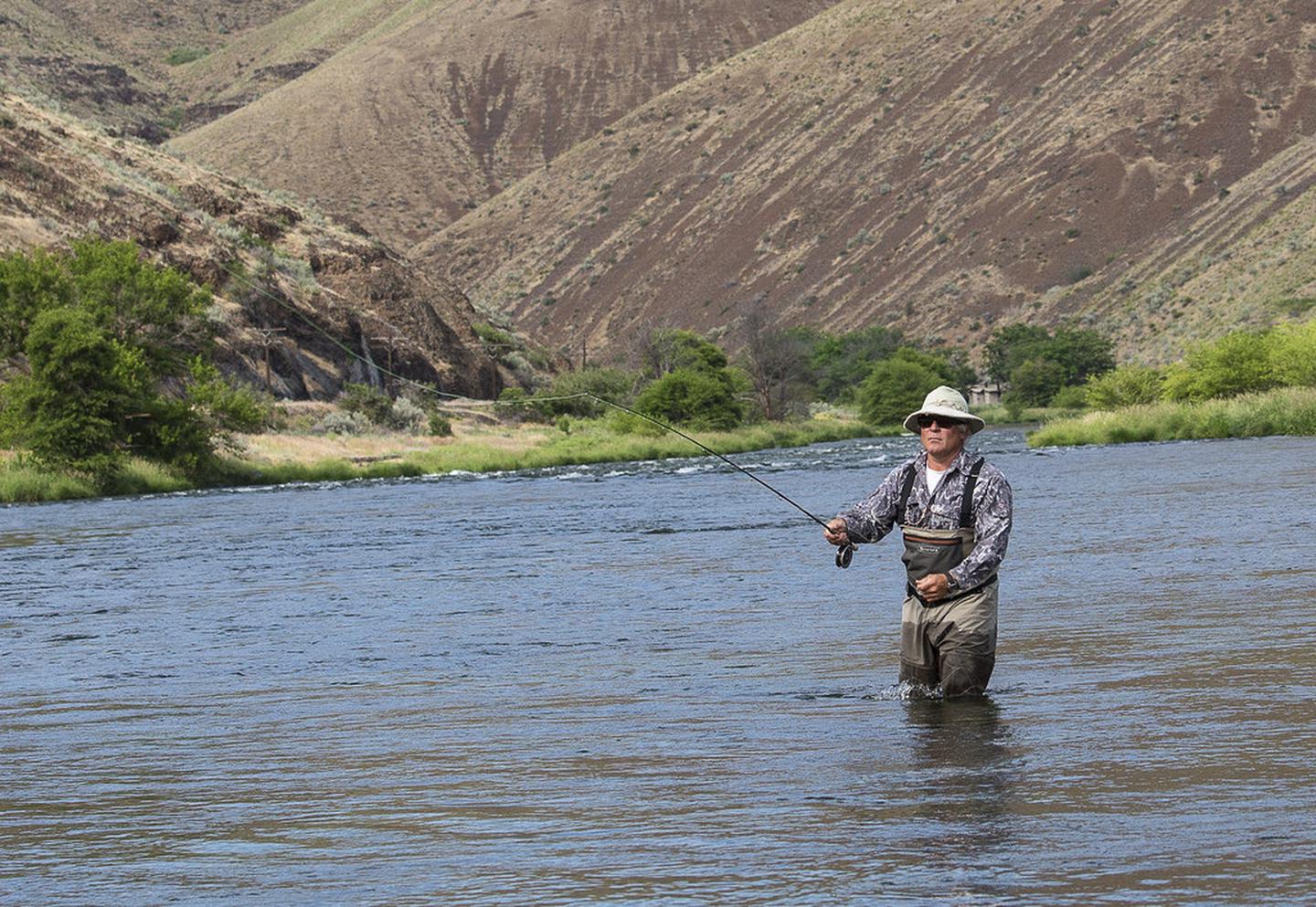
A fly fisherman tries his luck on the Deschutes river.
Bureau of Land Management
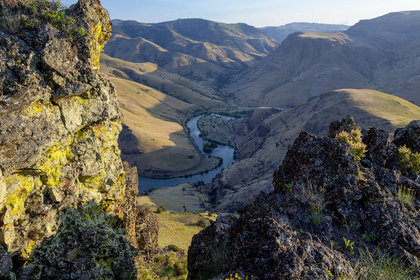
View looking down into Deschutes River canyon.
Bureau of Land Management
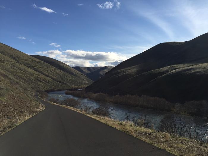
Paved stretch of the Lower Deschutes River Back Country Byway.
Bureau of Land Management
Canyonside view along the Lower Deschutes Back Country Byway.
Bureau of Land Management

Adventure is at Your Fingertips

Phone

Activities

Iconograph of a motorboat
BOATING
Iconograph of a bicyclist
BIKING
Iconograph of a tent
CAMPING
Iconograph of a spoked wheel and an arrowhead
HISTORIC & CULTURAL SITE
Iconograph of a fish head and a fishing hook on a line
FISHING
Iconograph of a person looking through a scope on a rifle
HUNTING
Iconograph of a picnic table
PICNICKING
Iconograph of three picnic tables
DAY USE AREA
Iconograph of a camera
PHOTOGRAPHY
Iconograph of a person paddling a kayak
PADDLING

Addresses

Prineville District Office
3050 NE 3rd Street
Prineville
Oregon
97754

Geographic Coordinates

45.26156, -121.03311

Directions

From Maupin, Oregon: On the east side of the Deschutes River drive either direction on the Deschutes River Access road.

Fees

No fees.

Stay Limit

14 Days