SAN RAFAEL REEF WILDERNESS STUDY AREA
Values
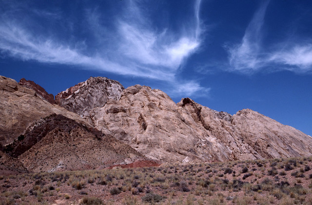
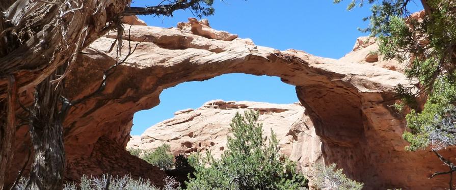
The WSA makes up the eastern edge of the San Rafael Swell and is a nearly north-south trending hogback that dips steeply eastward. Considered a major geologic feature in Utah, the area consists of domes, vertical fins and canyons from 200 to 1,000 feet deep that drain eastward. Elevations range from 4,800 feet along the eastern base of the Reef to 6,600 feet in the central and northern portions. Vegetation consists primarily of pinyon-juniper woodlands and is barren rock in most places. Desert bighorn sheep, cougars, peregrine falcons, bald eagles, and golden eagles all frequent the WSA. In addition, two endangered plants species (Maguire daisy and Wright fishhook cactus) and two threatened plant species (Jones cyclodenia and Last Chance townsendia) may also exist in the WSA.
Visitation Information
From Price, visitors can access the San Rafael Reef monitoring areas by traveling south on Highway 6 until reaching the intersection with I-70, a distance of approximately 57 miles. Turn right onto I-70 and travel west for approximately 8 miles. Take exit 149, and turn south onto Highway 24. To reach the Three Finger Canyon access point (closest access to I-70), travel south along Highway 24 for approximately 3.5 miles a dirt route (the Hatt’s Ranch bypass) leading eastward into the WSA. Travel on the Hatt Ranch bypass for 6.4 miles to reach the 3 Finger Canyon trailhead.
Visitor Advisory
The access routes to the canyons are very rough terrain and require high-clearance 4WD vehicles. These access routes may be washed out or otherwise impassable and it may be necessary to park further away from the WSA and continue on foot.
Flickr Album