
HORSESHOE CANYON (SOUTH) WILDERNESS STUDY AREA
Values
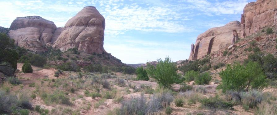
The area is elongated in a general curve around lower Horseshoe Canyon. The terrain in the study area consists of sandy flats and hilly areas between the canyons which are 1,000 feet deep where they join the Green River. The bottoms of the canyons are inaccessible in several places. Desert shrub and sagebrush are the dominant forms of vegetation in about half of the WSA. Scattered desert shrub, small areas of grassland, and riparian vegetation are found in the remainder of the WSA. The WSA includes approximately 20 miles of perennial streams, the majority of which is the Green River along the eastern boundary of the WSA. Bowknot Bend is a perfect example of the present creation of a Rincon. The Green River has carved a large deeply entrenched meander, leaving only a narrow neck to be eroded away before its course takes a shortcut.
Visitation Information
Located in southwestern Emery County and Northeastern Wayne County, about 30 miles south of Green River, UT.
Visitor Advisory
Horseshoe Canyon South WSA is located in a very remote and isolated region. Access to the WSA is challenging due to changing and deteriorated road conditions. Roads generally require four wheel drive and cell service is unreliable. Be prepared for such conditions.