
Thirtymile Wilderness Study Area
The Thirtymile Wilderness Study Area (WSA) (OR-5-1) is located along approximately 8.5 miles of the John Day River, approximately 18 miles southwest of Condon, Oregon, and 110 miles southeast of Portland, Oregon, and 40 miles southeast of The Dalles, Oregon. The Lower John Day WSA borders the Thirtymile WSA on the north and extends northward for approximately 29 river miles of the John Day River. The river forms the boundary between Sherman and Gilliam Counties within both WSAs.
Both encompass the John Day River and are basically oblong in shape and lie in a southeast direction. The Thirtymile WSA ranges 2 to 5 miles in width east to west, and is 5 miles long. The Lower John Day WSA is approximately the same width and is almost 8 miles long.
There are 7,538 acres of BLM land within the Thirtymile WSA. Additionally, a 40-acre parcel of private land is located at the end of a dead-end road, adjacent to, but excluded from the WSA.
Two parcels of private land totaling 320 acres separate the two WSAs. These two parcels of private land form a portion of the northern boundary of the Thirtymile WSA and the southern boundary of the Lower John Day WSA. Private lands surround most of both and private land and a road separate them.
The eastern and western boundaries of both are formed by several primitive roads and adjacent private and public lands. Private, public and State lands border the Lower John Day WSA on the north. The southern boundary of the Thirtymile WSA is formed by a legal section line. A dead-end road 1.6 miles long enters the Lower John Day WSA forming part of the boundary.
The only legal public access to either WSA is by floating the John Day River. A put-in point is located at Clarno where State Highway 218 crosses the John Day River and a take-out point is at Cottonwood Bridge where State Highway 206 crosses the river.
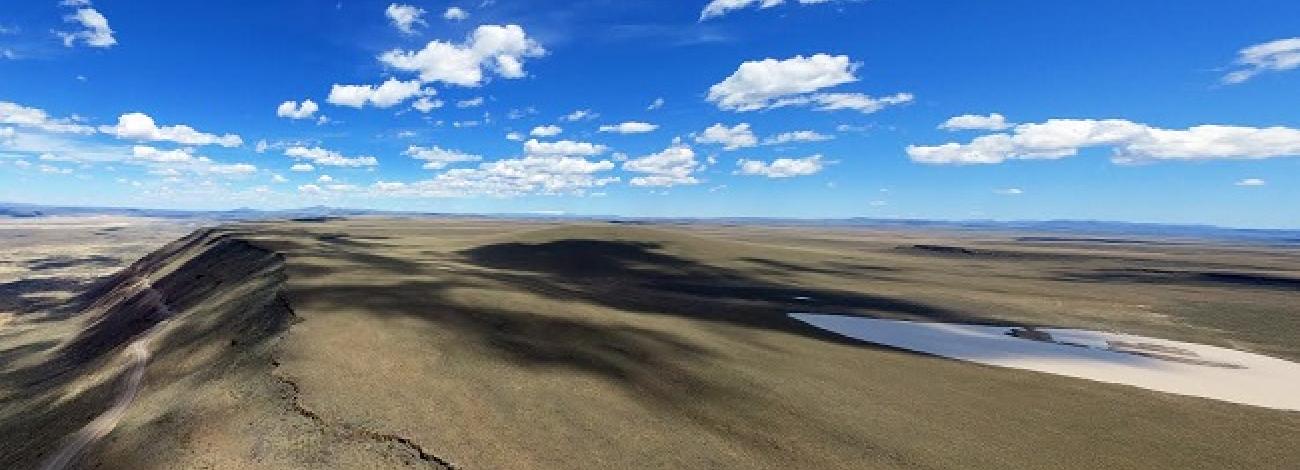
Cutting a dramatic cross section through one of the largest continental basalt flow formations in the world, the John Day River flows northward to the Columbia River. Nearly 40 miles of the John Day River are within the two. The lush riparian vegetation along this river canyon provides excellent wildlife habitat and contrasts against an otherwise dry landscape. Both contain numerous side canyons and perennial springs. Side canyons with springs have small riparian zones containing thickets of chokecherry, red osier dogwood, mock orange, poison ivy and water birch. Vegetation in both is a big community with scattered juniper trees.
They were studied under Section 603 of the Federal Land Policy and Management Act and were included in the Final Oregon Wilderness Environmental Impact Statement (EIS) filed in February 1990.


