
South Fork Donner und Blitzen River Wilderness Study Area
The South Fork of the Donner und Blitzen River Wilderness Study Area (WSA) (OR-2-85G) is located 74 miles south of Bums (12 miles south of Frenchglen) in Harney County. The study area lies along the southern section of the Steens Mountain Loop Road, 7 miles east of State Highway 205.
The area is basically rectangular in shape, with the western end narrowing somewhat. A roughly "L" shaped portion on the eastern side is almost entirety separated from the main body of the area by a large section of private land.
The study area contains approximately 37,555 acres of public land. In addition, 1,320 acres of private land are located within the WSA, as well as 1,705 acres of split-estate land.
Most of the study area is bounded by BLM roads with adjacent public lands. The northern boundary line of the area is formed entirely by the southern extension of the Steens Mountain Loop Road. The western and southwestern boundary lines are formed by BLM roads and two parcels of private land. The eastern boundary line is formed by a combination of BLM roads and private land, with the majority of the boundary being formed by private land. The southern section of the Steens Mountain Loop Road forms the northern boundary line of the WSA and is a gravel road. The western, southern and portions of the eastern boundary lines are located along dirt roads.
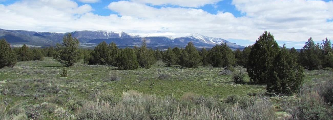
The South Fork of the Donner und Blitzen River WSA is located within the central portion of the physiographic feature known as the Steens Mountain Fault Block. Most of the terrain is flat to gently rolling. The major feature of the WSA is the river corridor. Located in the eastern portion of the study area, the river flows from south to north. Of the 8.5 miles of river associated with this study area, 6 miles flow across public land, approximately 2 miles flow through private land Just outside the boundary, while 0.5 mile crosses a private inholding. Small segments of three other perennial streams (Indian Creek, Deep Creek and Ankle Creek) also pass through the study area and drain Into the South Fork.
The eastern portion of the study area contains the greatest amount of topographic diversity. The river and creeks all flow through canyons which range from 100 to 200 feet in depth. Overall, the elevation of the study area averages 5,800 feet, with the extremes ranging from 5,100 feet in the river bottom near the northeastern boundary to 6,500 feet In the southeastern corner of the "L" shaped extension.
Juniper and low sagebrush are the dominant vegetation In the study area. Most of the juniper trees are located within the eastern two-thirds of the WSA. Low sagebrush occurs throughout most of the study area, but Is most common In the western portions. A variety of grasses are also found within the area. The river and the larger creeks contain riparian vegetation, and a grove of aspen is located within the Deep Creek drainage.


