
Red Mountain Wilderness Study Area
The Red Mountain Wilderness Study Area (WSA) (OR-2-78) is located 105 miles southeast of Burns, Oregon, (about 6 miles northeast of Denio, Nevada) in Harney County. The nearest highway is Nevada State Highway 140 which is 12 miles southwest of the WSA.
The study area contains 15,180 acres of BLM land and is roughly triangular in shape. It contains one acre parcel of private land, located near the eastern boundary, and 1,035 acres of split estate lands where the mineral estate is privately owned.
The area’s northern boundary is formed by a combination of two BLM roads and an irrigation ditch and pipeline. The eastern boundary is composed of BLM roads and a small parcel of private land. The south- ern boundary is formed by private land and BLM roads. The western boundary is formed by a county road. Three dead-end roads, totaling 5 miles, enter the study area and make up part of the boundary (one each from the north, east and south).
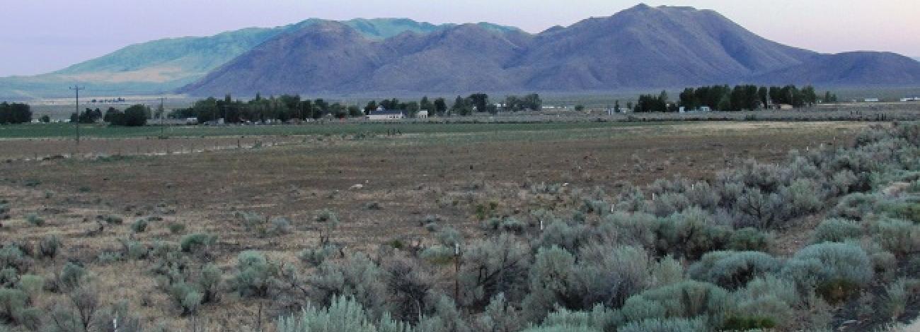
The study area lies on the southwest edge of the Trout Creek Mountains adjacent to the Pueblo Valley. The dominant topographic feature is Red Mountain which rises to 6,280 feet near the eastern boundary. This mountain’s ridgeline extends southeast for nearly 2 miles, with areas of rock outcroppings. West of Red Mountain, the entire middle portion of the area consists of numerous ridges and hills. Flat lowlands occur in the extreme western portion of the area where the lowest elevation is 4,240 feet.
No perennial streams are found within the study area. Four intermittent creeks (Oreanna, Red Mountain, Dry and No Name) drain the western portion of the area. These creeks or their tributaries have cut into the topography of the WSA and provide some topographic variety.
The WSA was studied under Section 603 of the Federal Land Policy and Management Act (FLPMA). Lands added after the wilderness inventory were studied under Section 202, also of FLPMA. These lands were included in the Final Oregon Wilderness Environmental Impact Statement (EIS) filed in February 1990.


