
North Pole Ridge Wilderness Study Area
The North Pole Ridge Wilderness Study Area (WSA) (OR-5-8) is located along approximately six river miles of the John Day River, about 15 miles northwest of Fossil, Oregon, and 65 miles northeast of Madras, Oregon. It is about 120 miles southeast of Portland, Oregon and U.S. Highway 97 is ten miles west of the area. Within the WSA, the John Day River forms the boundary between Sherman and Gilliam Counties.
Except for projections on the north and south, North Pole Ridge WSA is basically a rectangular area, extending three miles north to south and four miles east to west. There are 6,249 acres of BLM land, 120 acres of split-estate and 240 acres of private inholdings within the North Pole Ridge WSA.
The western, southern, and eastern boundaries of the study area are formed by the borders between private, state, and public lands. The northern boundary is formed by the border between public and private lands and a utility gas pipeline and maintenance road.
Private land surrounding the WSA prevents legal public access by road. Public access to the WSA is possible only by floating the John Day River. The main launch point is located at Clarno where State Highway 218 crosses the John Day River. The main landing point is at Cottonwood Bridge where State Highway 206 crosses the John Day River.
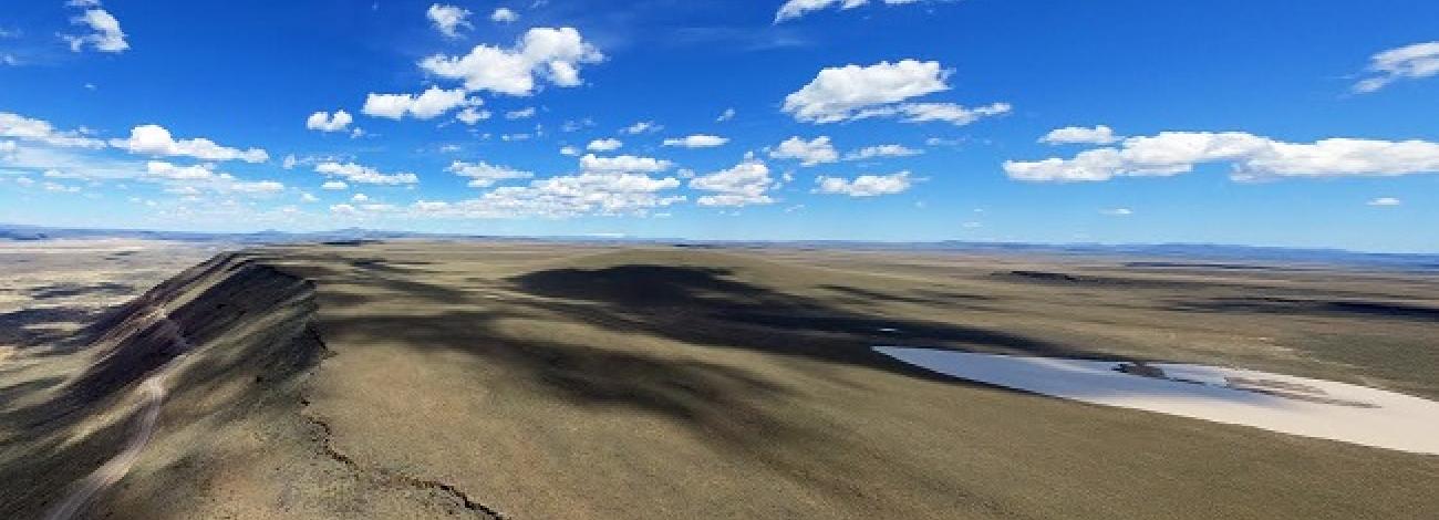
The North Pole Ridge WSA lies within one of the largest continental basalt flow formations in the world, the Columbia River Basalt Formation. Here, the 6.2 miles of John Day River cut a dramatic cross section through this plateau with 800 to 1,600 foot deep canyons. This is especially evident at the red wall, a highly scenic section of the John Day Canyon within the WSA. Designated a National Wild and Scenic River in October 1988, the John Day River flows north into the Columbia River.
Additionally, 14 side canyons enter the WSA and drain into John Day River. Escarpments along the canyons are interspersed with talus slopes and steep bunchgrass covered slopes. Wet areas of lush vegetation along the river contrast against an otherwise dry landscape. Side canyons, dotted with springs offer small riparian zones. The John Day River provides aquatic habitat for steelhead, trout and chinook salmon (some of Oregon’s few remaining native salmonoid runs). Predominant vegetation in the WSA is a big sagebrush/bunchgrass community with scattered juniper trees.
The WSA was studied under Section 603 of the Federal Land Policy and Management Act and was included in the Final Oregon Wilderness Environmental Impact Statement (EIS) filed in February of 1990.


