
McGraw Creek Wilderness Study Area
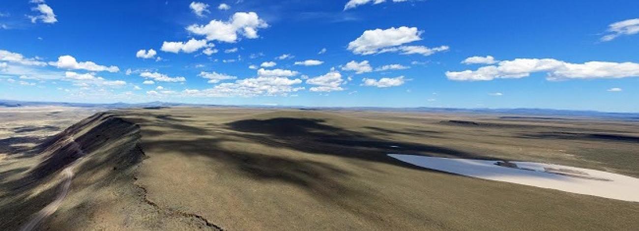
The McGraw Creek Wilderness Study Area (OR-6-1) is located 80 miles northeast of Baker City, Oregon, and 23 miles northeast of Halfway, Oregon, in Wallowa County. The WSA is approximately 2.5 miles in length and in width varies from 50 feet to 0.75 mile. The area is characterized by steep, deeply-dissected, narrow, rocky canyons. Elevation increases from 1,600 feet at the Hells Canyon Reservoir to 4,960 feet at the western boundary. The northern forks of Copper Creek are the only perennial streams.
The WSA contains 497 acres of BLM land and lies within the Homestead Area of Critical Environmental Concern (ACEC). The ACEC was established to protect outstanding scenic, wildlife and vegetation features including bald eagle and sensitive plant habitat. There are no private inholdings, and the subsurface mineral estate is Federally-owned. There are no roads or ways in the WSA.
The Hells Canyon Wilderness forms the northern boundary. The Wilderness is within the Hells Canyon National Recreation Area which extends northward approximately 50 miles along the west side of the Snake River in Oregon and on the east side in Idaho. The WSA is part of a chain containing two other bordering the impounded Snake River along the Oregon/Idaho State line above the Hells Canyon, Oxbow and Reservoirs. The three are not contiguous but do represent the same geographic locale of the Snake River Breaks.
Hells Canyon Reservoir on the Snake River forms the eastern boundary. A trail runs north along the reservoir on the eastern boundary. Private land (patented mining claims) and other BLM lands (which are in an unnatural condition and were eliminated from wilderness consideration during the inventory phase) form the southern and western boundaries, respectively.
Both forest and rangeland plant communities occur in the WSA with forest sections (Douglas fir, white and grand fir, and ponderosa pine) found on the higher, cooler, moister north aspects and in the upper portions of Copper Creek. The upper portion of Copper Creek also supports dense, deciduous riparian vegetation in a mature to climax ecological state. Rangeland plant communities consist primarily of grasses and scattered shrubs.
The WSA was studied under Section 603 of the Federal Land Policy and Management Act and was included in the Final Oregon Wilderness Environmental Impact Statement (EIS) filed in February 1990.


