
Lower Stonehouse Wilderness Study Area
The Lower Stonehouse Wilderness Study Area (WSA) (OR-2-23M) is located about 60 miles southeast of Burns in Harney County and 16 miles south of Oregon State Highway 78, along the county road which runs from Oregon State Highway 78, near Folly Farm, to Fields.
The study area contains 8,090 acres of BLM land in a somewhat rectangular shape, 6 miles long and 2.5 miles wide. In addition, there is one parcel of private land in the WSA totaling 160 acres.
Private lands form part of the study area’s boundary on all sides. A parcel of split-estate land lies adjacent to the area on the southwest. Roads form most of the remainder of the boundary except along the eastern side where a portion of the boundary follows the edge of two crested wheatgrass seedings. Low standard dirt roads form the northern and western boundary lines and a high standard gravel county road occurs along 1.7 miles of the southeastern boundary. The Lower Stonehouse WSA is located along the northern portion of the Steens Mountain fault block.
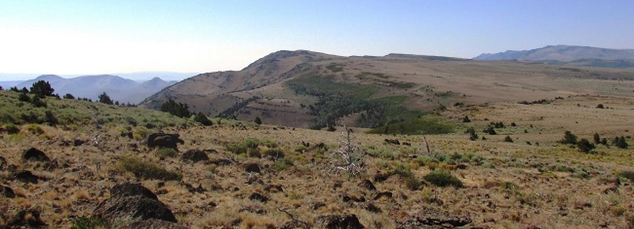
The topography of this area is similar to that of other study areas along the eastern face of the mountain. The WSA includes a portion of the steep east-facing Steens escarpment as well as gentle, westerly sloping areas. The Steens ridgeline, rising an average of 2,000 feet, is the dominant topographic feature running lengthwise through the center of the area.
The highest points in the study area occur where two high points on the ridgeline reach an elevation of over 7,300 feet. One of these peaks, the highest point in the WSA at 7,352 feet, is just within the study area along the western boundary. The lowest elevation in the WSA is 4,280 feet and occurs on the southeastern boundary. West of the ridgeline the topography is gentle with broad, rolling, open terrain. However, this part of the WSA is less than a quarter of the study area.
Many spring-fed intermittent streams flow to the southeast, from the top of the ridge down the face toward the eastern boundary. Stonehouse Creek, one of the more prominent drainages, is in the northern portion of the study area.
The vegetation in the study area includes western juniper, mountain mahogany, aspen, big and low sagebrush, and a variety of grasses and forbs.
Juniper is the major tree species and occurs on the eastern slope of the ridge and along the sides of the drainages. In the higher elevations, mountain mahogany is commonly associated with juniper and occasionally occurs in small dense clusters. Scattered groves of aspen are found in the northwestern portion of the study area.
The WSA was studied under Section 603 of the Federal Land Policy and Management Act (FLPMA), and was included in the Final Oregon Wilderness Environmental Impact Statement filed in February 1990.


