
Homestead Wilderness Study Area
The Homestead Wilderness Study Area (OR-6-2) is located on the west side of the Snake River adjacent to Oregon State Highway 86 in Baker County, Oregon, approximately 75 miles northeast of Baker City, Oregon, and 20 miles northeast of Halfway, Oregon.
The WSA contains 13,895 acres of public land composed of 6,441 acres of BLM land and 7,454 acres of Forest Service land. There is one parcel of split-estate land totaling 560 acres on the BLM portion and three parcels of split-estate land totaling 200 acres on the Forest Service portion. In addition there are 259 acres of private inholdings in the BLM portion of the WSA.
The 7,001 acres of BLM land including the estate portion, recently have been designated the Homestead Area of Critical Environmental Concern (ACEC). The ACEC contains outstanding scenic qualities, wildlife and bald eagle habitat.
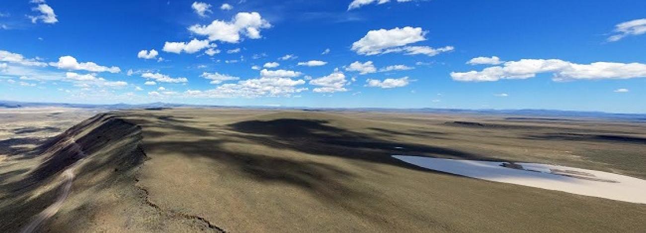
The WSA is on a north-south oriented ridge. Very short steep drainages (0.5 to 2.5 miles) run east to west through rugged canyons. The boundary of the Hells Canyon NRA follows the crest of this ridge through most of the WSA. The WSA is almost 10 miles long, 5 miles wide at its widest point and 400 yards at its narrowest point. Its average width is 2 miles. It is bordered by private land and power site withdrawals on the east and south, national forest land on the west, and a powerline on the north, east and northwest sides. Two dead-end roads, one mile in length each, enter the WSA along the southwest boundary.
Most of the study area lies on the east-facing slope that fronts Hells Canyon Reservoir. McClain Gulch, the major drainage, occurs on the Forest Service portion of the WSA. It runs in a southern direction to the southern boundary, a distance of 3 miles.
Vegetation is diverse and includes bunchgrass, cheatgrass and wheatgrass, big sagebrush, elderberry, hawthorne, poison ivy, snowberry, Douglas fir, white fir and ponderosa pine. The timber in the WSA on BLM land is predominately old growth. These trees are found on the moist, flatter areas of the steep draws.
The WSA was initially identified and studied under section 603 of the Federal Land Policy and Management Act (FLPMA) with additional acquired estate lands studied under section 202. The WSA was included in the Final Oregon Wilderness Environmental Impact Statement (EIS) filed in February of 1990.


