
High Steens Wilderness Study Area
The High Steens WSA (OR-2-85F) is located approximately 80 miles southeast of Burns, Oregon, in Harney County. The WSA is 20 miles east of Frenchglen and Oregon State Highway 205, the nearest highway.
The High Steens WSA contains 68,485 acres of BLM land plus 1,255 acres of split-estate land. In addition, the study area contains inholdings of private land totaling 2,165 acres. The area is long and somewhat narrow (averaging approximately 20 miles by 9 miles), extending north and south along the east face of Steens Mountain.
The boundary of the WSA is formed by a combination of private land and BLM low standard dirt roads. The Steens Mountain Loop Road borders the western border of the WSA, which is a standard gravel road. The High Steens WSA is on the east side of the road or the "outside" of the loop. The Steens Mountain Loop Road was constructed, and is maintained, by BLM. It receives substantial use, especially in the upper elevations during the summer months, by sightseers and other recreationists who use it as access to reach the backcountry.
A portion of the eastern boundary of the High Steens WSA is formed by a section of the county maintained East Steens Road, a standard gravel road, located along the East Face of Steens Mountain in the foothills where flatlands begin.
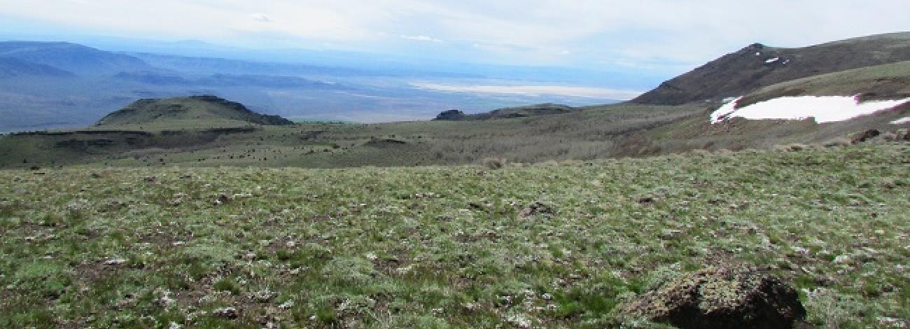
The High Steens WSA contains a variety of physical features which are the result of faulting, glaciation and erosional processes. From the top of the ridge, the east side of the mountain drops rapidly into the Alvord Desert basin. The elevation difference along this eastern face of the mountain is generally greater than 4,000 feet. At one point, however, the elevation difference is as much as 5,300 feet within 3.5 miles. It is along the eastern boundary that the High Steens WSA reaches its lowest elevation of 4,080 feet.
The eastern portion of the mountain is deeply carved by numerous drainages and is characterized by steep, rugged, rocky escarpments and ridgelines.
Ten drainages on this eastern slope originate from spring flows and nearly perennial snow fields near the mountain’s summit. Prom north to south these drainages include Mann, Castle Rock, Little McCoy, Mosquito, Willow, Cottonwood, Big Alvord, Little Alvord, Pike and Indian Creeks. Glacial action has carved portions of the upper ends of many of these drainages, leaving small U-shaped basins with meadows of lush vegetation at high elevations along the eastern slope.


