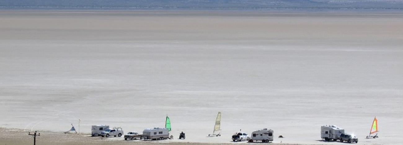
East Alvord Wilderness Study Area
The Alvord Desert and East Alvord Wilderness Study Areas are located approximately 70 miles southeast of Burns in Harney and Malheur Counties. The eastern side of the Alvord Desert WSA is about 5 miles southwest of Burns Junction. The nearest highway is U.S. Highway 95, which forms much of the eastern boundary of the Alvord Desert study area. The western edge of the Alvord Desert WSA is partially bounded by the county road which runs from Oregon State Highway 78, at Folly Farm (over 40 miles to the north), to Fields and Denio.
About two-thirds of the study area (on the east and south) is within the Vale District. All of the East Alvord WSA and the remainder of the Alvord Desert WSA are in the Burns District.
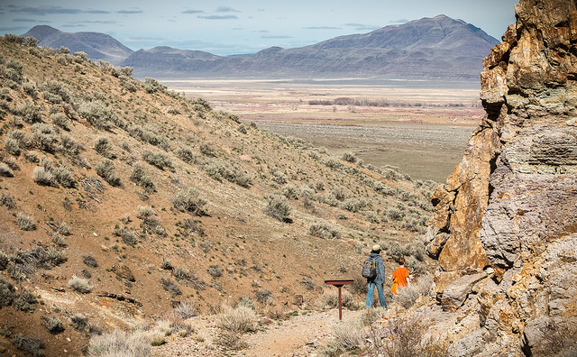
The East Alvord WSA includes the eastern edge of the Alvord Basin, the escarpment, and plateau features also present in the Alvord Desert WSA. In this study area the escarpment runs roughly through the center of the WSA, dividing the plateau area on the east from the Alvord Basin on the west. Sand dunes are the primary feature of the Alvord Basin portion of the study area.
Most of these dunes are stabilized with a variety of vegetation. The lowest elevation in the study area, 4,015 feet, occurs along the western side of the WSA.
In the northern portion of the WSA lies a much smaller basin. Most of this area is covered by a In addition, Mickey Hot Springs is located on the northern edge of the study area. The springs contain several pools of extremely hot water and, on occasion, bubbling mud holes and steam vents.
As in the Alvord Desert WSA, the escarpment in the East Alvord WSA rises abruptly (from 400 to 1,100 feet above the basin floor) on the eastern edge of the basin to form the plateau area. The study area reaches its maximum elevation in the north-central portion of the WSA where the plateau reaches 5,384 feet. The plateau region in the northern part of the area is somewhat flat to gently rolling and generally slopes to the south and west.
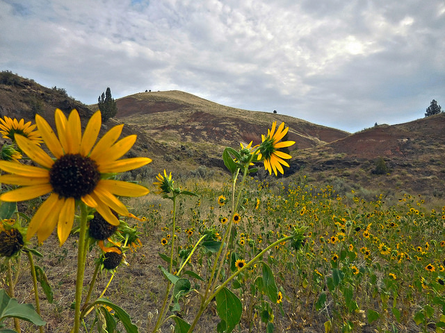
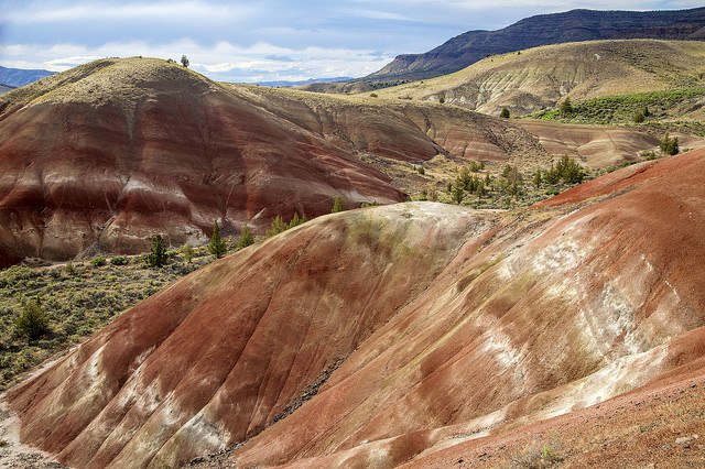
In the southern portion of the study area, the plateau region is cut by numerous intermittent stream drainages, creating an extremely diverse landscape of rounded, rolling hills.
The two study areas contain a variety of plant species. The most common species found in the is big sagebrush. This shrub is found throughout most of the area east of the Alvord Desert. There are several places, however, where big sagebrush is not the dominant species. The sand dunes, for example, are dominated by greasewood, and this portion of the WSA has a diversity of vegetation including spiny green brush, shadscale, bottlebrush, squirreltail, four-wing and cheatgrass. The Alvord Desert Coyote Lake and the south of Mickey Hot Springs are completely devoid of vegetation.
The WSAs were initially studied under Section 603 of the Federal Land Policy and Management Act (FLPMA). Lands added after the wilderness inventory were studied under Section 202, also of FLPMA. These areas were included in the final Oregon Wilderness Environmental Impact Statement (EIS) filed in February 1990.

