
Devils Garden Lava Bed Wilderness Study Area
The Devils Garden Lava Bed WSA (OR-1-2) is located in Lake County, about 60 miles southeast of Bend, Oregon, and 8 miles north of the small town of Fort Rock. The WSA contains 28,720 acres of BLM lands and 960 acres of split-estate land. The boundaries are primarily defined on the east by private land, vehicle ways, and low standard dirt access roads associated with a powerline way. On the north, west and south, land ownership and low standard roads define the WSA boundary. A low-standard dead-end road extends 2 miles into a well in the Devils Garden, forming a part of the boundary.
Most of the WSA is extremely rugged terrain covered by geologically recent lava flows. An open sagebrush grassland of some 3,900 acres in the north-central portion is known locally as “The Devils Garden.” The lava flows consist of lava, very sharp and broken in appearance, while smoother-textured, less rugged pahoehoe flows cover the south portion of the WSA.
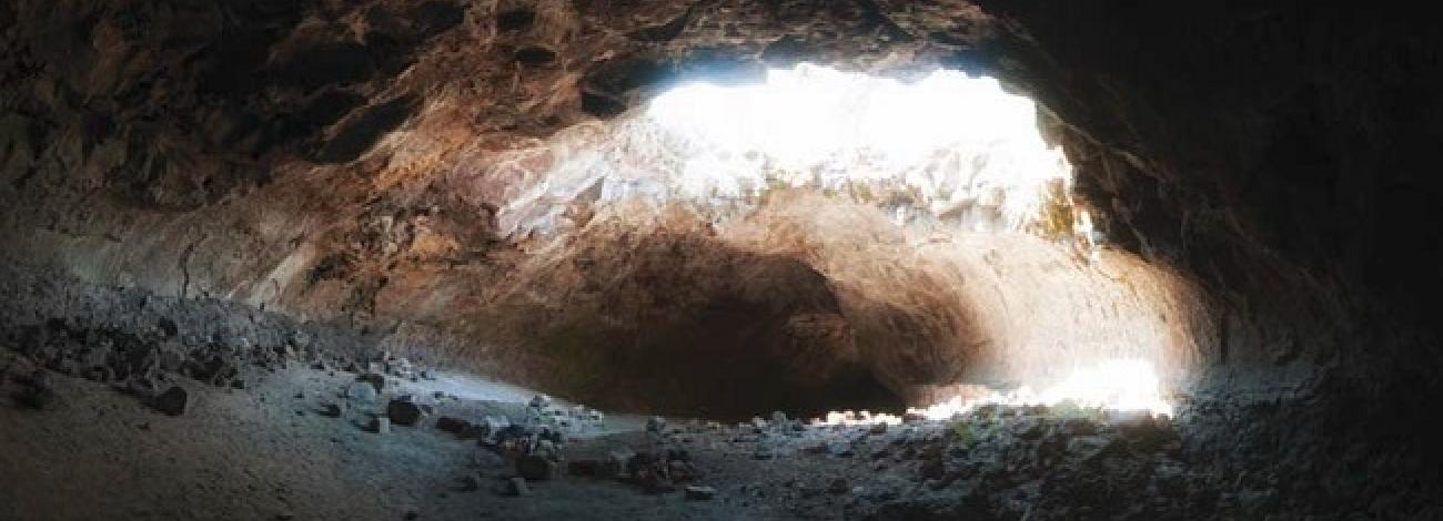
The WSA supports juniper, mountain mahogany, ponderosa pine, varied native grasses and abundant shrubs. There are a number of lava tube caves in the WSA, the largest and best known being Derrick Cave near the northeast corner of the WSA. A number of cinder cones occur in the WSA. The most interesting cinder cone, known as the “Little Garden,” is located in the northeast portion of the WSA. It is covered by ponderosa pine and dense stands of native bunchgrasses.
The WSA was studied under Section 603 of the Federal Land Policy and Management Act (FLPMA) and was included in the Final Oregon Wilderness Environmental Impact Statement filed in February 1990.
The Devils Garden WSA remains in a generally natural condition with much of the Lava Flow pristine. The area’s large size, rugged topography and diverse vegetation enhance the natural perspective in the area. Fire scars within the area are a natural part of the ecosystem and are viewed as indication of natural cycles at work. Minor evidence of human activity appears in the “Devils Garden,” the historic homestead, a seeding that has revegetated to a great degree with native vegetation, and several vehicle trails.


