
Alvord Desert Wilderness Study Area
The Alvord Desert and East Alvord Wilderness Study Areas are located approximately 70 miles southeast of Burns in Harney and Malheur Counties. The eastern side of the Alvord Desert WSA is about 5 miles southwest of Burns Junction. The nearest highway is U.S. Highway 95, which forms much of the eastern boundary of the Alvord Desert study area. The western edge of the Alvord Desert WSA is partially bounded by the county road which runs from Oregon State Highway 78, at Folly Farm (over 40 miles to the north), to Fields and Denio.
About two-thirds of the study area (on the east and south) is within the Vale District. All of the East Alvord WSA and the remainder of the Alvord Desert WSA are in the Burns District.
The Alvord Desert WSA contains 221,847 acres of BLM land. In addition, there are 70 parcels of estate lands totaling 29,213 acres. The WSA contains 34 parcels of private land that total 5,370 acres. The irregularly-shaped area is 37 miles long from east to west, and 20 miles wide, north to south, at the extremes, narrowing to 3 miles or less in three locations.
The East Alvord WSA contains 21,600 acres of BLM land. In addition, one parcel of split-estate land (640 acres) is in the study area. The area is roughly shaped, being widest in the north, narrowing in the center, and widening slightly again in the south. The area is 8.5 miles from north to south and 6.5 miles from east to west.
Roads and private land make up the boundaries of the two study areas. The northern boundary of the Alvord Desert WSA is formed entirely by BLM dirt roads, including the section of road which it shares with the East Alvord WSA. On the east, the boundary includes private land along legal subdivisions, U.S. Highway 95 and a small amount of land at the Rome airport. The southern boundary is a combination of private land, BLM dirt roads and the county road from Pueblo Valley to U.S. Highway 95 (the Whitehorse Road). The western boundary is formed along legal subdivisions with private land, a mile section of county road, a BLM road and a powerline.
With the exception of one small parcel of private land, the boundary of the East Alvord WSA is formed entirely by BLM dirt roads.
Also forming part of the boundary of the Alvord Desert study area are seven dead-end roads, totaling 15.5 miles, which enter the WSA. Four of these dirt roads enter the WSA from the northern boundary while three enter the area from the south. There are no dead-end roads penetrating the perimeter of the East Alvord WSA.
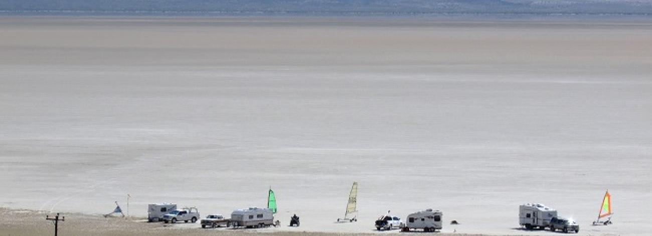
The two are within an area of closed drainage basins and desert plateaus. The Alvord Desert WSA consists of a prominent basin and a desert plateau lying east of the ridge of Steens Mountain. The dominant feature of the study area is the Alvord Desert. The desert is a large (more than 35 square miles within the WSA), clay-bottomed which catches seasonal runoff from the east side of the Steens, but is generally dry for nearly two-thirds of the year. The was flooded year-round from 1982 through 1985 due to unusually high snowpack in the Steens Mountain and subsequent runoff; since then it has only been seasonally flooded.
Also within the basin on the east side of the is a substantial area of sand dunes containing both shifting and stabilized dunes. The basin, including the dunes, covers the western quarter of the WSA and, at 4,000 feet elevation, is the lowest point within the study area.
Directly east of the Alvord Basin is a large, steep, west-facing escarpment which rises to a plateau and forms part of the basin’s boundary. The plateau is the highest point within the study area, reaching an elevation of 4,974 feet. East of this escarpment, the plateau slopes gently toward the east for a distance of about 11 miles. This area of relatively gentle topography is broken only by a long, rocky rim which forms the southern edge of the plateau. Farther to the east, Coyote Lake is the major feature of the landscape. It is somewhat smaller than the Alvord and, like the Alvord, is usually dry. East of Coyote Lake is the Barren Valley portion of the WSA. The topography here is flat to gently rolling with only a few rounded ridgelines and shallow drainages to provide diversity to the landscape.


