
Aldrich Mountain Wilderness Study Area
The Aldrich Mountain Wilderness Study Area (WSA) (OR-2-103) is located three miles south of Dayville (and U.S. Highway 26) and 26 miles west of John Day in Grant County.
The study area contains 9,395 acres of BLM land in an irregular configuration. The area is over seven miles long and varies in width from three miles to 0.25 mile. There are no inholdings but State land protrudes into the area in two locations in the central portion of the WSA which creates the narrow portions of the boundary. Private land also protrudes into the area in the north.
With the exception of bladed roads which form the southern and a portion of the western boundary, the study area’s boundaries consist of private and State land. A portion of the western boundary is formed by State land managed by the Oregon Department of Fish and Wildlife (ODFW).
The northern portion of the WSA is primarily bounded by private land although there are ODFW lands on the northeast. Most of the eastern boundary lies adjacent to the Malheur National Forest. One parcel of private land also makes up part of the eastern boundary. Also forming part of the eastern boundary are two dead-end timber haul roads which each extend about 0.5 miles into the study area.
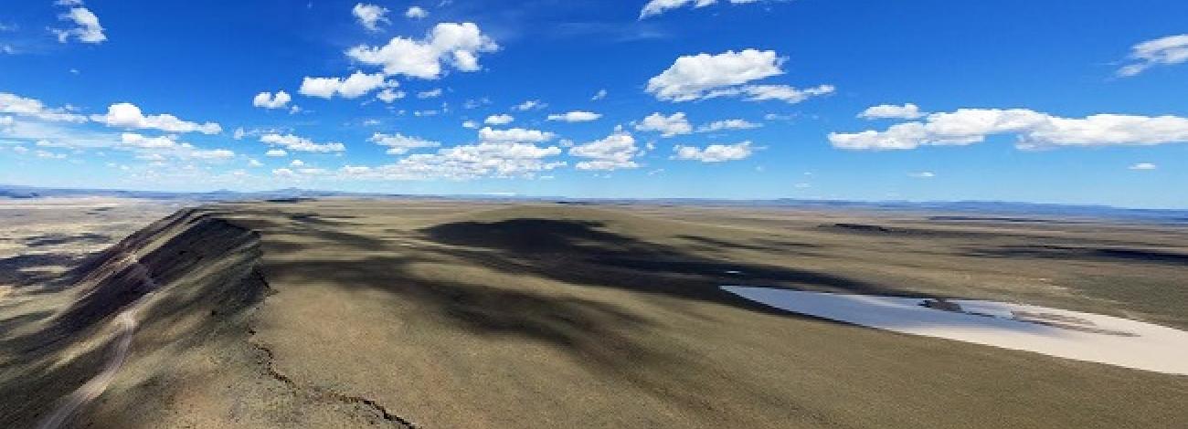
The main feature of the WSA is the steep foothills on the western side of Aldrich Mountain which contain a series of ridges and drainages. They lie parallel to and just east of the south fork of the John Day River. Smokey Creek and Oliver Creek are the major drainages which cut through the area from east to west, but there are several other smaller tributaries and drainages. Due to the narrow width of the area, only small portions of the major drainages are included in the WSA.
The elevation of the area ranges from 2,560 feet on the lower slopes along the western boundary to 5,680 feet along the eastern boundary just north of Jackass Creek. The vegetation within the area includes scattered ponderosa pine and Douglas fir in the drainages and on the northern slopes in the higher elevations and sagebrush/juniper communities in the lower foothills.
The WSA was studied under Section 603 of the Federal Land Policy and Management Act.


