
Petticoat Peak
Values
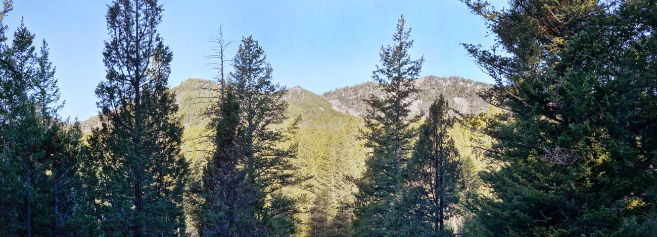
Petticoat Peak WSA is a wooded and forested area with steep and mountainous topography; Petticoat Peak being the highest point at 8,032 feet. Dominant vegetation on the western side consists of Utah juniper, mountain shrubs and sagebrush. On the eastern side, thick stands of Douglas-fir intermingled with rocky mountain juniper, lodgepole, aspen, and mountain mahogany dominate. Recreational opportunities include hunting, hiking, and camping.
Visitation Information
Petticoat Peak WSA is located along the crest of the Fish Creek Mountain Range. Access to the WSA is off of Highway 30. From Lava Hot Springs, Idaho, travel east on Highway 30 approximately 7 1/2 miles over Fish Creek Pass to the valley floor and immediately turn north on Lund Road. Drive Lund Road for 1 ¼ miles and turn left on Neibaur Mtn Road. Drive 0.6 miles (past a house on the right and another on the left) to a gate. Pass through the gate, drive another 0.3 miles to another gate, and from this point on is BLM land. In 0.2 miles is a parking area, and in another 0.3 miles exists an ample area for parking next to a stock reservoir.
Visitor Advisory
All the land before the second gate is private and no parking is allowed on the private land. Please respect private property (including closing the gates). To get to parking areas on the BLM land requires a vehicle with high clearance. Past the second parking area the road continues another 1 mile, however, the road is brushy and narrow with few places to pass opposing vehicles. Though there is parking space at the end of the road, it is recommended to park at the second parking area and walk the remainder of the road.