
Cadastral Tools
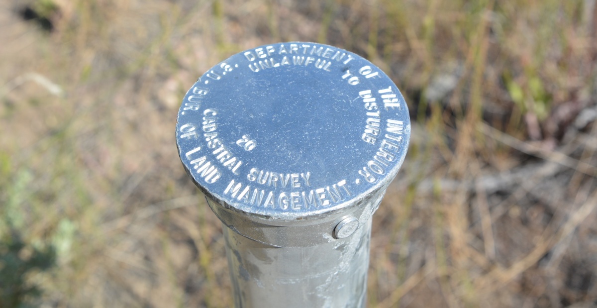
The BLM is required to perform cadastral surveys on all federal interest and Indian lands. As part of survey work, the BLM maintains an essential land grid, known as the rectangular survey system or Public Land Survey System (PLSS), which is the basis for identifying legal descriptions of land parcels.
The following documents and tools can provide information and assistance in understanding and undertaking cadastral surveys:
Manual of Surveying Instructions For the Survey of the Public Lands of the United States 2009 : The official Manual has guided the original surveys and resurveys of the public lands since 1855. The 2009 edition is the most recent version and is the 9th in the series.
Errata for the Manual of Surveying Instructions: Corrections to errors found in the Manual of Surveying Instructions.
Standards and Guidelines For Cadastral Surveys Using Global Positioning System Methods: Guidance to cadastral and other land surveyors in using Global Positioning System technology to perform Public Land Survey System surveys.
Specifications for Descriptions of Land: BLM publication (revised in 2017) providing guidance, rules, and specifications for descriptions of tracts of land appropriate for use in land orders, Executive Orders, Proclamations, Federal Register documents, and land description databases.
Glossaries of BLM Surveying and Mapping Terms: Intended for use by BLM cadastral personnel.
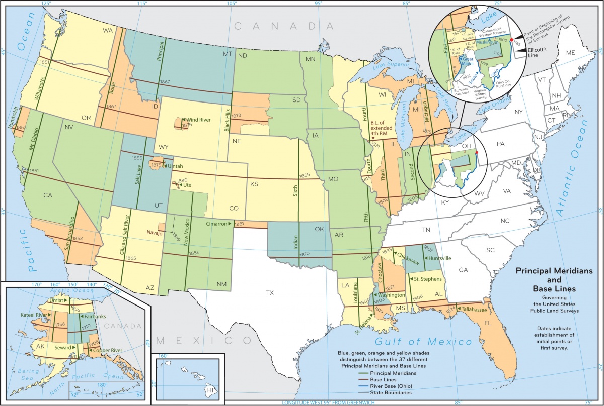
Principal Meridian Map: Map and details of Meridians of the United States.
Color Landform Atlas of the United States: Provides maps created from arrays of elevation data. Actual satellite images are also available on the site.
Land Surveyor Reference Page (LSRP): Private site with numerous links to articles, surveying equipment, professional organizations, state rules, regulations, and statutes.