
Lower Crooked River Back Country Byway | Oregon
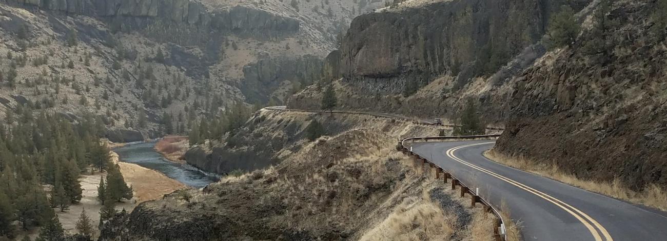
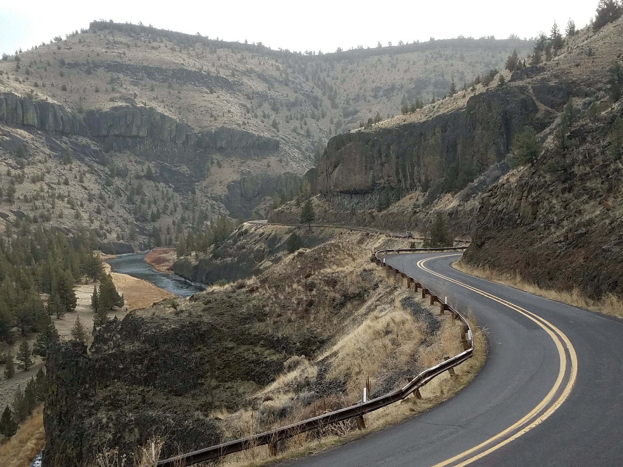
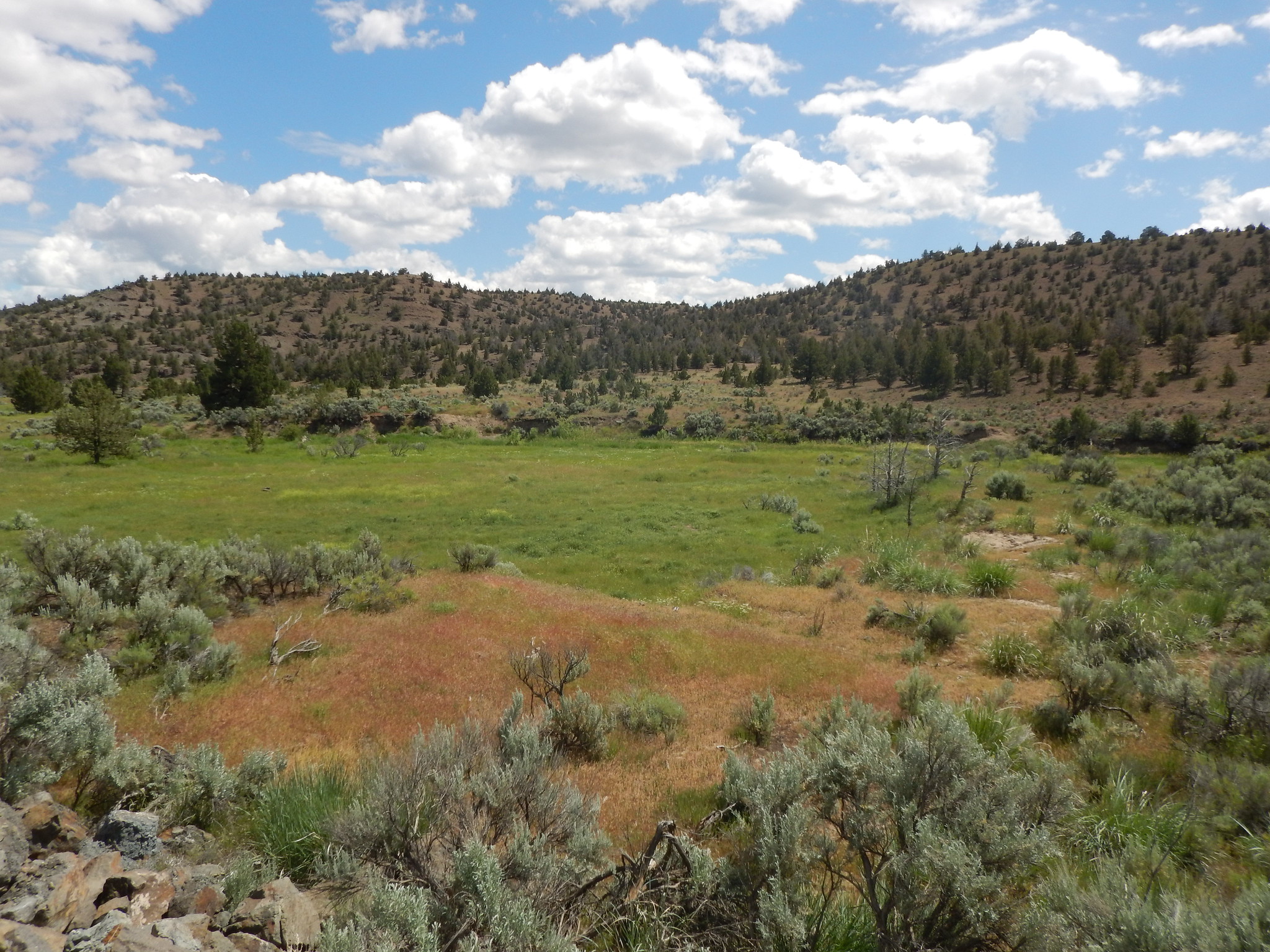
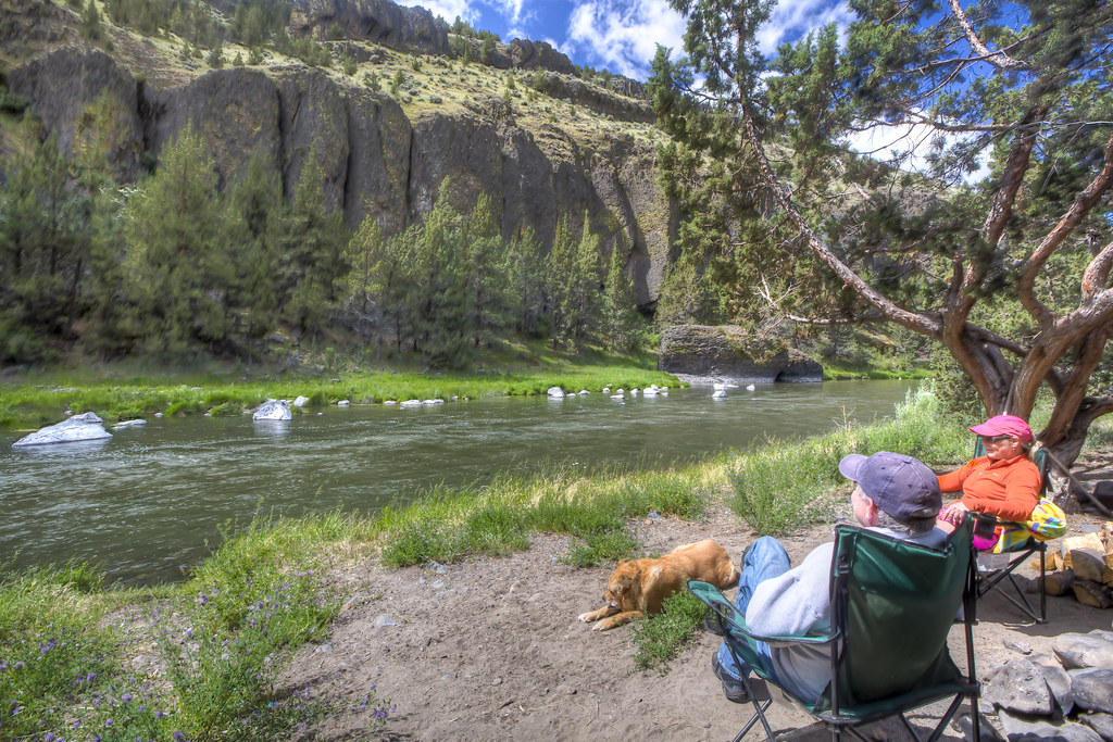
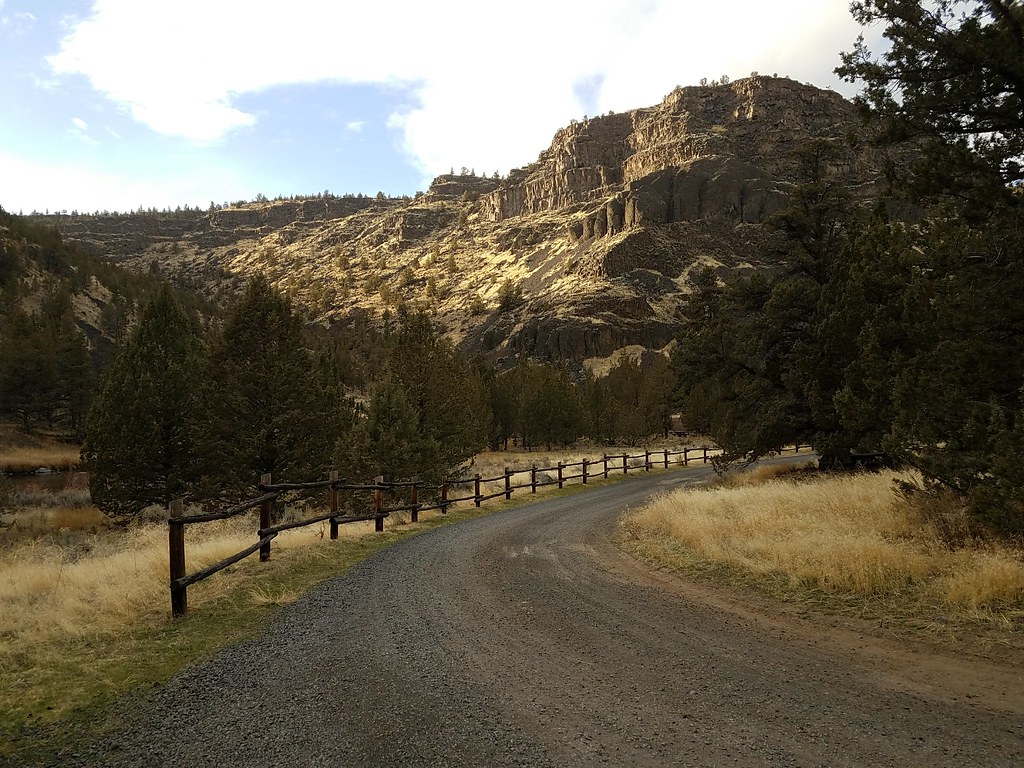
Just 40 minutes east of the hubbub of Bend, Oregon, sleepy Highway 27 winds 43 miles north from Highway 20 to the city of Prineville. Although the entire route is a state highway, the southernmost 18 miles are unpaved but are of high-standard graded gravel suitable for a passenger vehicle. Private ranches are interspersed among public rangelands with views of rolling hills and towering basaltic buttes. After the paved section begins, the back country byway crosses the spillway of Bowman Dam before descending into the gorge of the Chimney Rock segment of the Crooked Wild and Scenic River with its dozen recreation sites. Here, access to camping, fishing and hiking opportunities are available year-round.
Know Before You Go
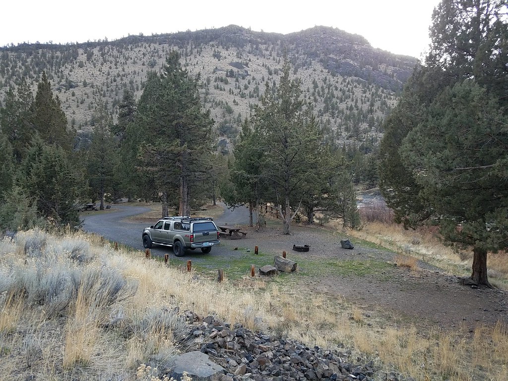
Nine year-round campgrounds, two day-use areas and a hiking trail line the wild and scenic river stretch of this byway. Camping is $8 per night single site/$16 per night group site; $2 per extra vehicle (tow vehicles excluded) with a maximum of two vehicles allowed per site.
Day-Use Areas and Campgrounds (ordered north to south)
- Castle Rock Campground
- Stillwater Campground
- Greenwood Day-Use Area
- Lone Pine Campground
- Upper Lone Pine Day-Use Area
- Lower Palisades Campground
- Chimney Rock Campground
- Cobble Rock Campground
- Post Pile Campground
- Poison Butte Campground
- Big Bend Campground
- Much of the back country byway is open range: watch for livestock.
- Cell phone service is limited or not available in most locations along the back country highway.
- Watch for bicyclists: the section of road between Prineville and Bowman Dam is a state scenic bikeway and the unpaved portion is a favorite of gravel bike riders.
- When recreating on public lands, practice Leave-No-Trace Principles.
Point of Interest
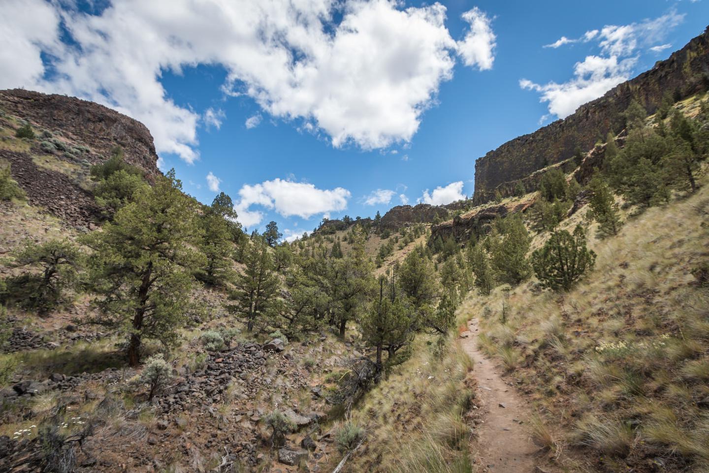
Hike up the 1.3-mile Chimney Rock Trail to its namesake butte located prominently above highway 27 opposite the Chimney Rock campground. Access to the trail is across the highway at the Chimney Rock Trailhead.
For a different view, visitors can ride the 18-mile Crooked River Canyon Scenic Bikeway from Prineville to Big Bend Campground. Designated in 2018, this moderate route takes riders from picturesque farms to towering cliffs.
Photos
Contact Us

Activities


Addresses
Directions
From Bend, Oregon: Drive 33.3 miles east on State Highway 20; the junction with State Highway 27 -the Lower Crooked River Back Country Byway- will be on your left.
Fees
No fees.