
Fort Ord National Monument | California
Please visit our primary Fort Ord National Monument page for the latest information, maps and guides.
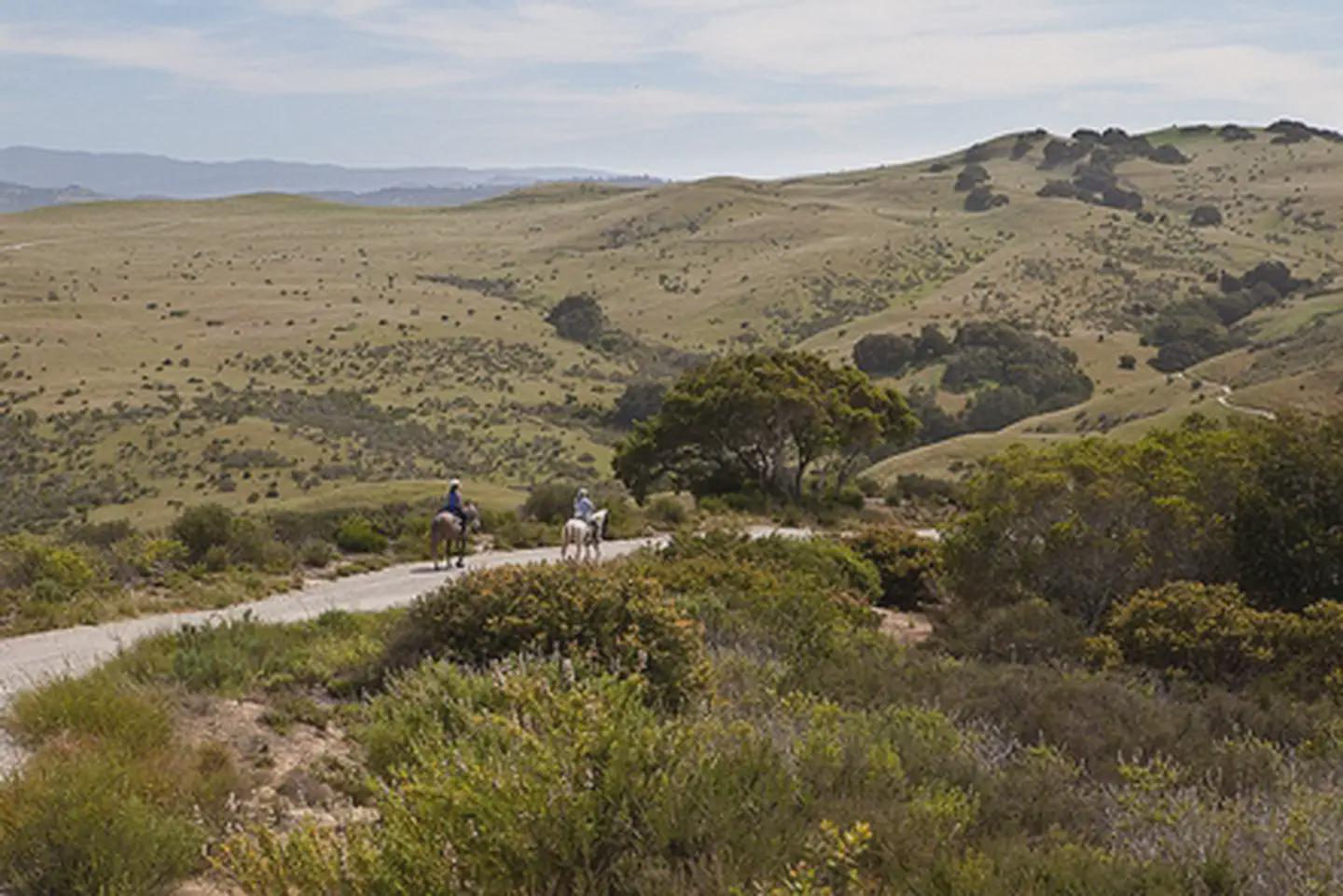
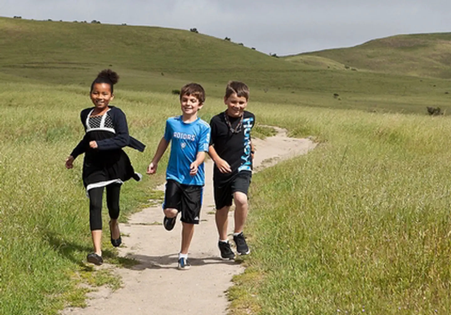
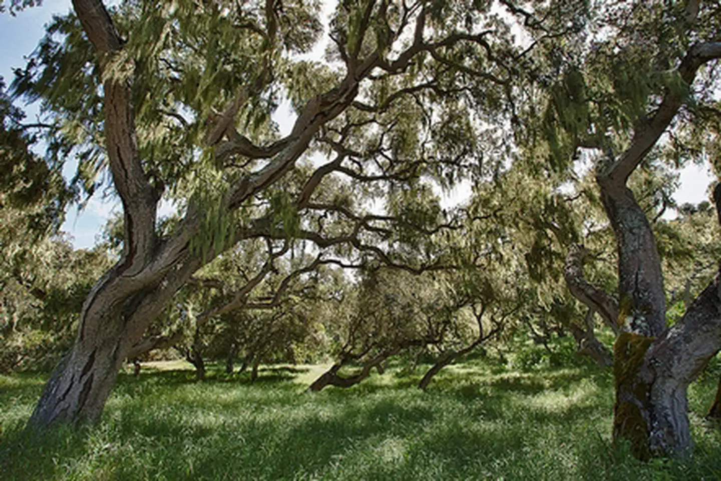
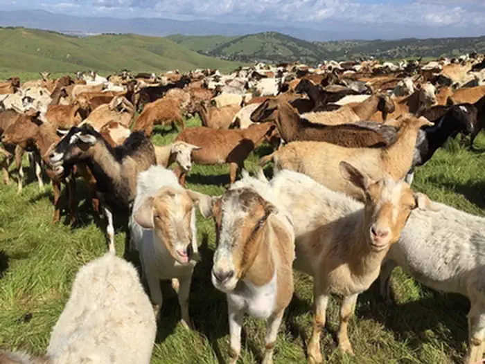
Photos
Contact Us
This site is managed by Central Coast Field Office; visit their page for office hours and directions.

Directions
Creekside Terrace Trailhead is just off Highway 68 near the intersection of Reservation Road and Portola Road. Badger Hills Trailhead is just off Highway 68 six miles east of Salinas, CA.
Fees
No Fee