
Bitter Creek WSA
Values
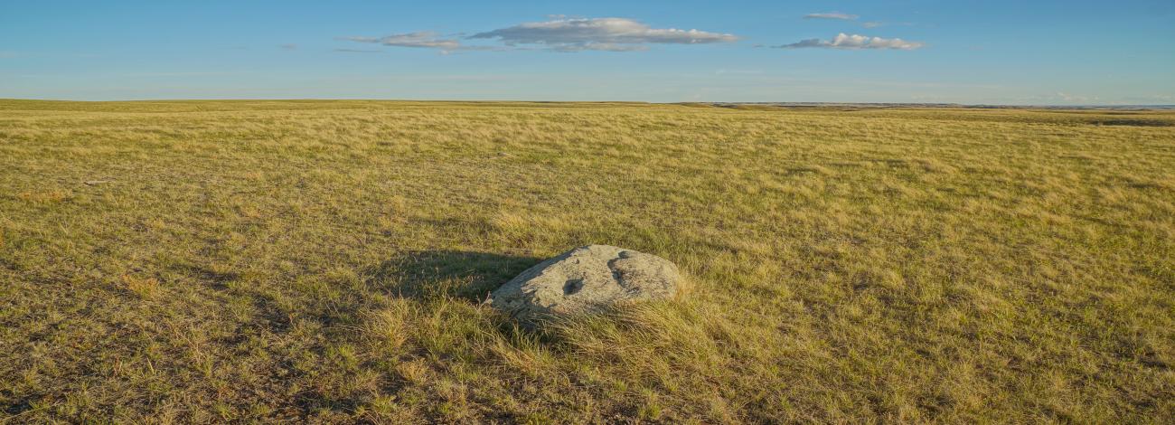
Bitter Creek WSA is located in glaciated plains of grassland prairie. Short grass prairie communities are rare as wilderness landscapes, and this area is the largest. The WSA has been identified as a Watchable Wildlife area and is a featured stop on Montana’s Northeastern Plains Birding Trail. Bird species of interest include Sprague’s pipit, McCown’s longspur, Baird’s sparrow, and long-billed curlew. Located in the northern Great Plains, topography consists of flat to rolling terrain, with an elevation variance of only 500 feet across the entire WSA. This is a popular area for hunting, backpacking, photography and wildlife viewing..
Visitation
Bitter Creek WSA is located in Valley County of northeast Montana. Drive Hwy 2 west of Glasgow about 20 miles and turn north on Britsch Road. The first 9 ½ miles is gravel; gravel ending at a turn into a ranch house. Continue driving straight another 4 ½ miles to the southern tip of the WSA.
Visitor Advisory
The un-graveled part of Britsch Road, as well as other roads and trails in the area, can be very muddy when wet. A high-clearance vehicle is necessary on these routes and travel is not recommended during wet conditions. Once hiking in the WSA, there are no designated trails and few distinct features to navigate by, so personal navigation aids may be needed.