
Cow Creek WSA
Values
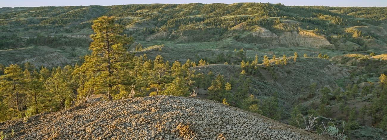
The Cow Creek WSA is within the Missouri breaks in the northern Great Plains, where the Missouri River has cut a canyon 600-800 feet deep. The Bull Creek, Winter Creek, and Hay Coulee drainages are steep canyons with sandstone outcrops and badland type formations, while other parts of the WSA are rolling terrain with large grass/shrublands and forested areas. A four-mile long sandstone cliff caps the rim of the west side of the Winter Creek drainage. Vegetation is predominantly short prairie grasses, sagebrush and greasewood. Ponderosa pine, lodgepole pine, Douglas fir, and juniper are prevalent throughout and form dense forest in the north part of the WSA. Hunting, horseback riding, hiking, and photography, provide outstanding opportunities for recreation.
Visitation
From the town of Grass Range, Montana, follow Highway 19 until it turns into Highway 191. Continue approximately 40 miles, turn on Montana 66 north for approximately 1 ½ miles and turn west on an unmarked gravel road known as Bull Creek Road. Bull Creek Road is gravel for approximately 2 ¼ miles, and drive an additional 3 ¾ miles where you will encounter the southeast corner of the Cow Creek WSA.
Visitor Advisory
The ungraveled part of Bull Creek Road, as well as other roads and trails in the area, can be very muddy when wet. Travel is not recommended during wet condition.