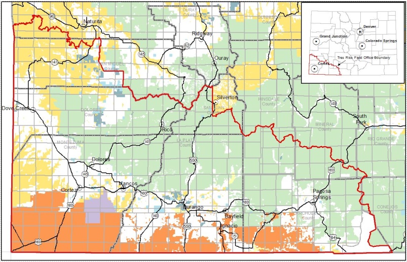
Tres Rios Field Office Travel Management
Transportation and Access Plan (TAP) for Travel Area 1
In December 2020, the Tres Rios Field Office completed Transportation and Access Planning (TAP) for one of two separate geographic areas within the TRFO planning area. Travel Area 1 (TAP1) consists of about 92,000 acres of BLM-managed lands within Archuleta, La Plata, and Montezuma counties. Travel Area 2 consists of BLM-managed lands and routes within Dolores, San Miguel, and Montrose counties, which are being considered in a separate NEPA action currently in pre-planning.
TAP1 is characterized by BLM-managed lands primarily in the vicinity of urban areas (Durango, Cortez, and Mancos). These lands include a number of special recreation management areas (SRMAs) designated for motorized and non-motorized recreation. Other areas within TAP1 include the Weber and Menefee Wilderness Study Areas (WSAs) and other dispersed BLM-managed lands. Resource uses in TAP1 area include recreation, grazing/range, fluid and solid mineral development, and public use rights-of-way. Per land use designations in the 2015 Tres Rios Resource Management Plan, approximately 13,000 acres are ‘closed’ to motorized traffic and 18 acres are ‘open’ without limitations. The remaining approximately 79,000 acres are classified as ‘limited’ and allow traffic on routes either designated through previous planning decisions or through this document.
The TAP1 decision designates 4.6 miles of two-wheel-drive road, 14.2 miles of primitive road (two-track), 3.1 miles of trail for motorized use (by OHVs and rock crawlers), 2 miles of trail for mechanized use only, and 1.2 miles of trail for non-mechanized use and authorizes Class 1 e-bikes on trails in the following areas: Chutes and Ladders Recreation Management Zone (RMZ), Aqueduct RMZ, Mud Springs RMZ and on the North Menefee trail outside of the Menefee WSA. Additionally, the decision creates or improves parking areas (access points) and OHV “play areas.”
View TAP1 NEPA documents at: https://eplanning.blm.gov/eplanning-ui/project/99180/510
View TAP1 Final Route Designation Maps at: