
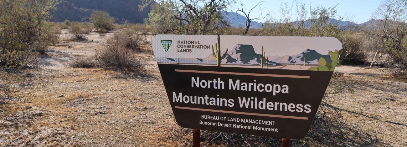
North Maricopa Mountains Wilderness Area | Arizona
The 63,200-acre North Maricopa Mountains Wilderness Area lies in the Sonoran Desert National Monument in southwestern Maricopa County, about 12 miles east of Gila Bend and 20 miles southwest of Phoenix.
The wilderness provides outstanding opportunities for solitude and primitive recreation, including hiking, backpacking, horseback riding, camping, wildlife observation and photography. The Margies Cove and Brittlebush Trails take you through the heart of the North Maricopa Mountains Wilderness.
The North Maricopa Mountains Wilderness contains a 10-mile section of the Maricopa Mountains, a low-elevation (1,000 to 2,813 feet) Sonoran Desert range, and extensive surrounding desert plains. The North Maricopa Mountains are a jumble of long ridges and isolated peaks, separated by bajadas and washes. Vegetation includes saguaro, cholla, ocotillo and other Sonoran Desert plant species. Desert bighorn sheep, desert tortoise, coyotes, bobcat, fox, deer, Gambel's quail and raptors live in this wilderness.
Contact Us

Activities


Addresses
Geographic Coordinates
Directions
You can get to the North Maricopa Mountains Wilderness Area from the west via State Route 85 and BLM route 8001 to Margies Cove West. From the south, off of State Route 238/Maricopa Road, BLM route 8004 connects to the Brittlebush Trailhead. BLM route 8002 parallels the east side of the wilderness and connects to Margies Cove East on route 8002A. Download a map.
External Map
Fees
There are no permits, passes, or fees required to visit this wilderness area. It is free.
However, commercial, competitive, and large organized group events require a special recreation permit. Contact the local managing field office for more information about special recreation permits.
Recreational activities on any nearby state trust land require a permit from the State of Arizona.
Quicklinks
Sonoran Desert National Monument
Camping
Trails
- Brittlebrush Trail
- Margies Cove East Trailhead
- Margies Cove West Trailhead
- Lava Flow Trail
- Table Top Trail
Wilderness Areas