



New Website for the General Lands Office Brings Increased Access to Land Records
In recognition of the 250th anniversary of the nation’s founding, and the 80th anniversary of the Bureau of Land Management, the Eastern States State office held a ribbon-cutting event July 15 to celebrate the history of the General Lands Office, or GLO, and the modernization of their website.
Founded in 1812, the General Lands Office became part of the Department of the Interior in 1849. In 1946, the office merged with the U.S. Grazing Service to form the Bureau of Land Management. Home to some of the oldest and richest archives in federal history, the General Lands Office maintains more than 12 million historic land title records—plats, patents, field notes, and tract books, some dating back to 1787.
These records tell the story of American history and westward expansion. These archives helped shape settlements, boundary decisions, resource development, and even family histories.
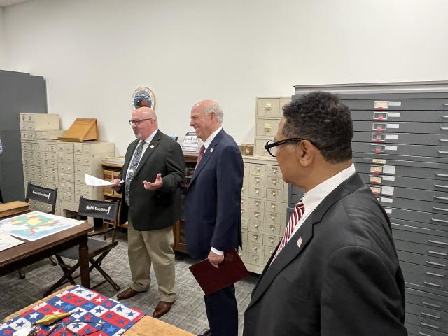
Every single day, over 1,500 users rely on these records to guide decisions that influence communities and economies across the United States.
“Our land records have made and continue to make a great contribution towards American growth, energy development, genealogical research, academic inquiry, and more,” said Mitchell Leverette, BLM Eastern States Director.
The newly updated website allows greater access to information for the public, as well as tools for researchers and surveyors to greater understand land use and land management.
“Today’s event brings history to life,” said Kate MacGregor, Deputy Secretary of the Interior, who spoke on the significance of the efforts undertaken by the General Lands Office. “Demonstrating our commitment to protecting, modernizing, and expanding access to the American people.”
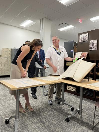
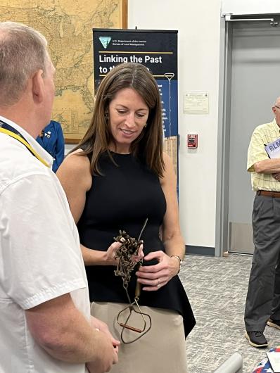
Following their remarks, there was a ceremonial ribbon-cutting and interactive demonstration of the new General Lands Office website. The digitization of these records was paid for by an investment from the Technology Modernization Fund, with the following goals:
Increasing the number of land records available online
Enhancing search functionality on the General Lands Office website
Redesigning the public-facing web application to improve efficiency and accuracy of retrieved data and improve document images
As part of the event, a panel of experts in conservation, genealogy and land management held a discussion on the importance of maintaining and updating land records to preserve the human stories they reveal.
Guests also were treated to a rare glimpse inside the General Lands Office vault, housed deep below the BLM offices in a climate-controlled space. These artifacts include rare maps and plats, dating back to the 18th century, some of which are still used daily by the BLM.
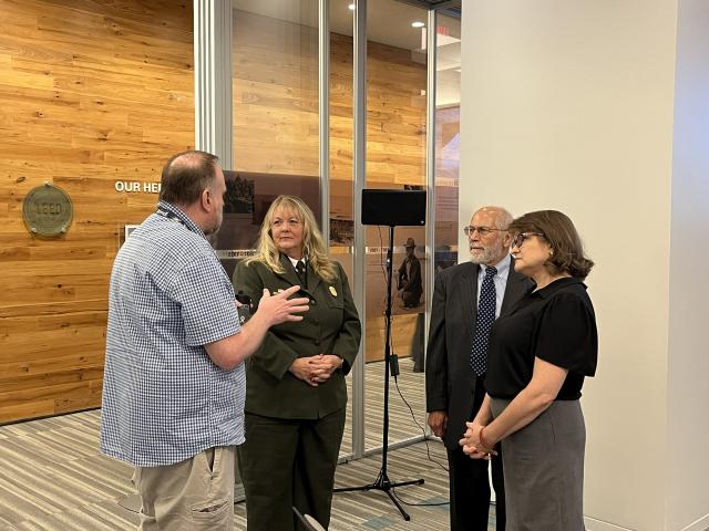
The event marked a turning point in access to data and records which aid in their work and research. More importantly, this information is a vital tool in the telling of America’s story.
BLM Director Stevan Pearce shared a historical note about our Founding Fathers and how they understood the importance of land ownership and the right to acquire private property.
Pearce explained that the phrase “life, liberty, and property” was initially included in the Declaration of Independence, but it was later revised to “life, liberty, and the pursuit of happiness.” This change signified that people had the right to come to America, work, acquire possessions, and purchase their own land—land that is defined by boundary stones which cannot be moved. Pearce further noted, “[General Land Office staff] are the custodians of the boundary stones.”
Related Stories
- BLM recruits future workforce at Missouri University of Science and Technology career fair
- September Lease Sale Energizes BLM’s Mission and Our Teams
- Postcards Become Monthly Creative Tradition at Red Rock Canyon National Conservation Area in Nevada
- BLM Brings Public Lands to Life at Scouting America’s 2026 National Jamboree
- Ignite by 4‑H: BLM Eastern States Connects Youth to Public Lands
Office
5275 Leesburg Pike
Falls Church, VA 22041
United States