
Recreation for all: Improving accessibility on public lands
People with mobility or other accessibility considerations can now plan outings on BLM-managed recreation sites with more certainty. The Bureau launched a new “accessibility” map for facilities across multiple states on our website this month, as part of Disability Awareness Month. It is the first phase of an effort that the Bureau plans to build upon in future stages.
A diverse team of recreation planners, GIS data experts, communications staff, web content coordinators, and writer-editors worked to enhance the online map for BLM Recreational Opportunities. By clicking on an accessibility icon added to the field of featured opportunities, users can view a new layer of the map that shows and describes accessible sites.
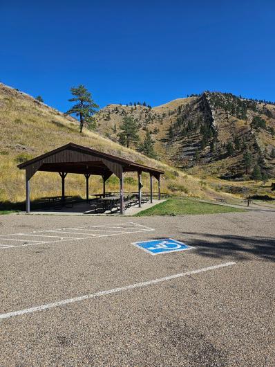
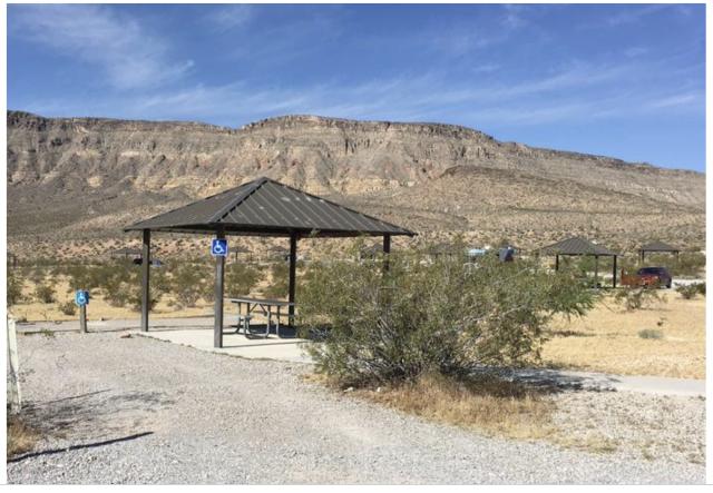
With valuable assistance from the field, the team is also incorporating photos and detailed information about accessible features of individual facilities, starting with campgrounds and visitor centers. These descriptions indicate, for example, whether service dogs are allowed; whether accessible parking, toilets, and picnic tables are available; whether campground surfaces, boat ramps, and other areas can accommodate wheelchair users; and more. The team will add further information of this kind as work on the project continues.
In initiating the project, the Bureau consulted with National Park Service and Bureau of Reclamation accessibility specialists. The team also distributed a survey to colleagues in the field to validate existing data about accessible features and services at BLM facilities and sites.
Additional developments for subsequent phases will include more complete coverage of accessible facilities on the Recreational Opportunities map and more details about individual sites within larger facilities, such as specific campsites within a campground.
Tom Heinlein, Assistant Director of National Conservation Lands and Community Partnerships, expressed strong support for the project and its goal of providing reliable information about accessibility at all BLM-administered sites. He remarked, “It is imperative for the Bureau to improve accessibility on public lands, to ensure that inclusiveness and equity go hand in hand with ‘recreation for all,’ one of the strategic pillars for the agency’s 21st Century Blueprint for Outdoor Recreation.”
Related Stories
- BLM, Partners Enhance Public Access at Popular Recreation Area
- Celebrating 2026 National Trails Day volunteers
- Volunteers and Partners Retrace 250 Years of History on the Anza Trail
- BLM law enforcement medical rescue team brings advanced care to public lands
- Great American Clean Up Brings Accessibility, Stewardship, and Community Together at the Jupiter Inlet Lighthouse ONA