
BLM launches Geospatial Business Platform Hub
Story by Fern Braun, Program and Management Analyst
The Bureau of Land Management (BLM) Enterprise Geospatial Services (EGS) Branch has launched the BLM Geospatial Business Platform (GBP) Hub, a new tool for sharing geospatial data, maps, applications, and documents with the general public. This comes as the result of several years of dedicated research, testing, and development from the GIS Modernization Publication Team and GIS staff from across the Bureau including designated Hub publishers from every BLM state. Hub will soon replace other prior geospatial data systems including Navigator and the Landscape Approach Data Portal (LADP), consolidating these resources into a one-stop shop providing easy and convenient access to BLM’s geospatial content.
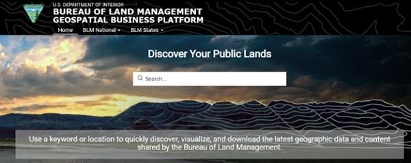
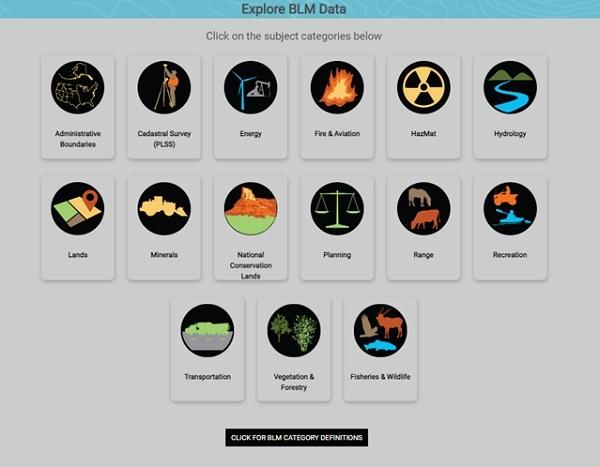
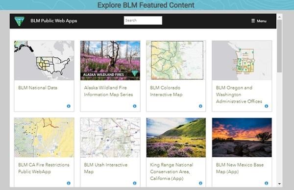
The BLM GBP Hub is a website which serves as a centralized location for the public to explore, view, and download BLM's geospatial data. Hub can be used for keyword or geographic search of BLM data, to browse BLM geospatial resources by location or subject category, or simply to explore BLM’s featured content. BLM locations share information with the public and provide narratives about their content and programs. Data is available at the national and state levels, as well as through BLM’s landscape initiatives.
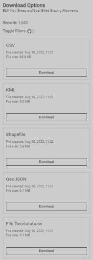
Hub combines data and visualization technology. Through Hub, digital data is accessible in a variety of formats from simple interactive maps and applications to downloads and services for advanced geospatial users (downloads are available in formats such as CSV, KML, Shapefile, File Geodatabase, GeoJSON, and GeoServices). Most spatial data items provide an item preview page with a display of the spatial data on a map, a list of attributes, access to the application programming interface (API), and the option to download in the user’s desired format.
This platform represents an important step forward in creating a more consolidated and streamlined method for sharing geospatial content with the public. Thanks to the efforts of GIS staff from across BLM, members of the public from recreational viewers to GIS professionals will have improved access to the many valuable applications, maps, and geospatial datasets shared by BLM states and programs. For questions about the BLM GBP Hub, please contact: [email protected].
Related Stories
- Volunteers and Partners Retrace 250 Years of History on the Anza Trail
- Capturing Inspiration: Photography on America’s Public Lands for National Photography Month
- From oilfields to greenways: Two BLM officers are making a difference where it matters most
- Volunteer Profile: Equestrian group carves a niche in the Utah back country
- Volunteer sees cycle of stewardship through her work on historic cave
Office
Denver Federal Center, Bldg. 85
P.O. Box 25047
Denver, CO 80225-0047
United States