Geospatial

BLM publishes interactive web map displaying access to public lands

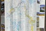
In December 2024, the BLM released a new interactive web map that displays legal locations to access BLM-managed public lands.

Russell Cave National Monument

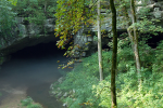
This week, the General Land Office features a survey plat that displays the boundaries of the Russell Cave National Monument in Alabama.

Heceta Head Lighthouse, Oregon

The Heceta Head Lighthouse is a 56-foot tall structure perched on a curved cliff on the west side of Heceta Head.

Craters of the Moon National Monument and Preserve

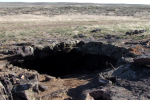
This week's "Record of the Week" features a region of Idaho with an otherworldly landscape.

St. Augustine, Florida

The GLO website provides live access to Federal land conveyance records for the Public Land States, including image access to more than 12 million federal land title records issued between 1788 and the present.