Sunset Crater Volcano National Monument

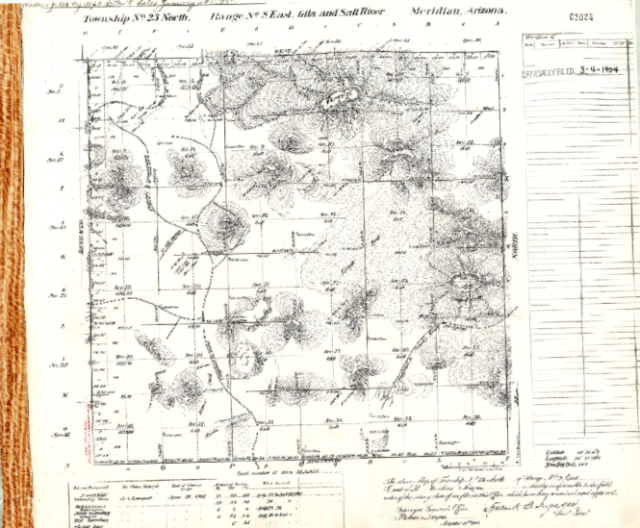
We are heading to Arizona! This week's GLO Record travels to Sunset Crater National Monument. Did you know its volcano last erupted nearly 1000 years ago? The area now serves as the setting for a diverse assortment of plants and animals and is managed by the National Park Service! Read more in ArcGIS Story Maps.

The GLO website provides live access to Federal land conveyance records for the Public Land States, including image access to more than 12 million federal land title records issued between 1788 and the present.

The site also hosts images of survey plats and field notes, land status records, and control document index records, and is one of the most visited websites in the Department of the Interior. Visit glorecords.blm.gov for more information.

Sunset Crater Volcano National Monument
 
Original Survey of Arizona Gila & Salt River Meridian, Township 23 North Range 8 East
Blog Topic: