
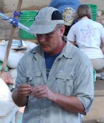
BLM archaeologist digs data
Before a new road, pipeline or even a fence can traverse BLM land, a call goes out to BLM archaeologists. They survey the area to determine whether cultural resources—remains of past human activities like arrowheads or mining cabins—are present and require protection.
Surveys can be time consuming, and when significant cultural resources are found in an area, a project may have to be rerouted—negatively impacting costs and timelines.
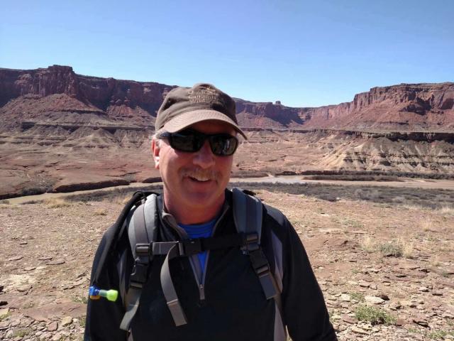
Kirk Halford, BLM Idaho State Archaeologist, is receiving national attention for his work to streamline the survey process agency-wide, an effort that is saving BLM significant time and budget. To do so, he’s employing one of his favorite tools: data.
Throughout his career, Halford found that many project delays stem from a lack of consistency in BLM and State Historic Preservation Offices (SHPO) cultural resources data and difficulties accessing it.
“Each BLM and SHPO office kept their own, separate survey records, meaning that archaeologists had to consult several offices and merge disparate data fields to provide meaningful analyses to development project managers,” he explains.
Halford created data standards that guided all BLM offices in Idaho to collect the same information for surveys and attribute it consistently for ease of reporting and analysis. He tapped into his experience developing a similar system for California BLM and leveraged work completed by Coeur d’Alene District Archaeologist David Sisson and GIS Specialist John Nelson.
Because of his Idaho and California successes, Halford was asked to head up a project to standardize survey data for BLM use agency-wide, a complex, collaborative, and ongoing task that launched in 2015.
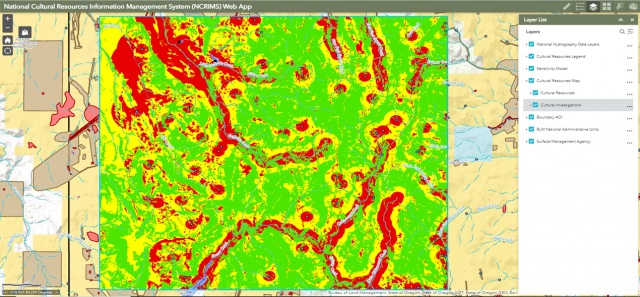
Halford also led development of a WebApp to host the standardized data. Called the National Cultural Resources Information Management System (NCRIMS), it currently hosts data from 11 Western states, comprising 470,000 cultural resource records and roughly 200,000 surveys.
“NCRIMS’s data standardization enables initial project analysis in minutes versus hours or even days,” says Halford. “In the future, archaeologists in the field will be able to collect data real-time with a tablet and write directly to the database.”
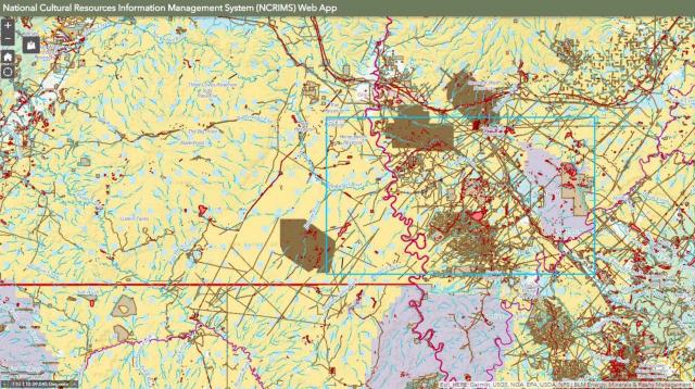
Additionally—and as important—an embedded modeling component shows the probability of finding cultural resources in a proposed development area before a survey even takes places, allowing archaeologists to help guide a project’s development before any work starts.
“When a job comes in, we can now show the company whether their area of interest is likely to have significant cultural resources, which could create project delays,” explains Halford. “And then we can say, ‘But if you can move it to this less sensitive area, you’ll reduce resource conflicts and likely save considerably on survey costs and time.’”
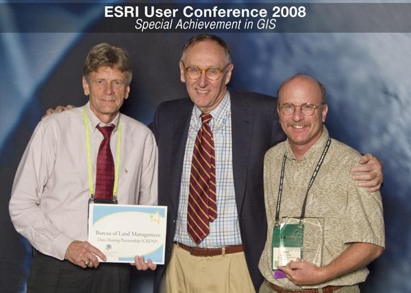
BLM staff who use NCRIMS report a vast efficiency in their workload, a testament to the vision and commitment of Halford and his colleagues. Halford has accepted several awards for BLM data standards projects he has managed, including Esri’s Special Achievement in GIS, the ACHP’s Chairman’s Award for Federal Achievement in Historic Preservation, and the Public Lands Foundation Outstanding Professional Award.
Related Stories
- Cottonwood Field Office and Extreme Adventure Club Strengthen Youth Engagement Through Annual Float Trip on the Lower Salmon River
- Local Paleoartist Captures BLM Dinosaur Death Struggle
- Sharing the Spirit of America: A Celebration on the Snake River Canyon Rim
- Framed for Freedom: Bureau of Land Management Eastern States and the Legacy of National Historic Trails
- Nine Miles of Prevention: The Fuel Break that turned the Fire