
Bobcat-Houlihan Trail
The trailhead is located 28 miles southwest of Cody. Travel on Wyoming State Highway 291 (the South Fork Highway) 28 miles. Turn right onto Park County Road 6EH and travel approximately three miles to the trailhead.
The picturesque Bobcat-Houlihan Trail is surrounded by the magnificent Absaroka Mountains located deep in the South Fork Shoshone River Valley. This popular trail features a moderately steep hike to the Shoshone National Forest boundary, suitable for horseback riding and hiking.
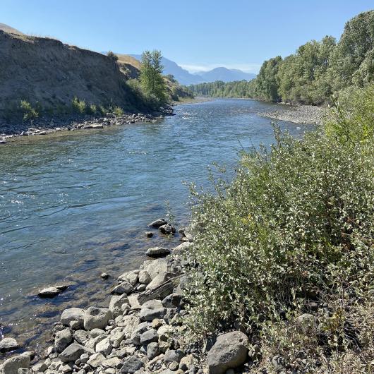
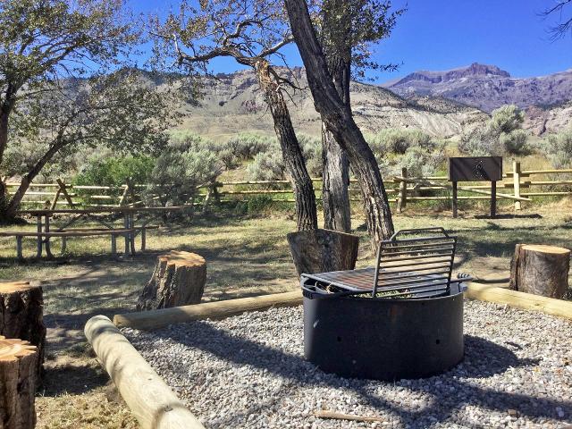
The trail begins near the South Fork of the Shoshone River and provides access to trails along both Bobcat and Houlihan Creeks. Facilities at the trailhead include an information kiosk, horse trailer parking, horse hitching rails, and toilet facilities. Camping is allowed. Fishing access to the South Fork of the Shoshone River is also available adjacent to the trailhead.
Elevations ranging from 6,020 feet to 6,280 feet provide views of the South Fork Shoshone River valley and Carter Mountain. While you’re hiking, you could see deer, moose, grizzly and black bear, elk, antelope, bald eagle, bobcat, coyote and mountain lion.
Be aware! This is grizzly country!!
For More Information or to check on current conditions, contact: the Cody Field Office, 1002 Blackburn Street, Cody, Wyoming, 82414. PHONE: 307–578–5900 EMAIL: [email protected]
Photos by Melissa Higley and Rick Tryder.
Related Stories
- Birding Aravaipa Canyon: A morning of songs, color, and creekside adventure
- BLM, Partners Enhance Public Access at Popular Recreation Area
- Celebrating 2026 National Trails Day volunteers
- Framed for Freedom: Bureau of Land Management Eastern States and the Legacy of National Historic Trails
- Volunteers and Partners Retrace 250 Years of History on the Anza Trail