
Saguaro National Park
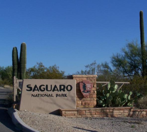
This week's story map brings us to Saguaro National Park. This portion of the Sonora Desert surrounding Tucson, Arizona, was originally established as a national monument by a presidential proclamation signed by President Herbert Hoover on March 1, 1933. This proclamation and others can be found under a set of records called Control Document Index Cards on the General Land Office Branch website. Read more on ArcGIS Story Maps.
The GLO website provides live access to Federal land conveyance records for the Public Land States, including image access to more than 12 million federal land title records issued between 1788 and the present.
The site also hosts images of survey plats and field notes, land status records, and control document index records, and is the most visited website in the Department of the Interior. Visit glorecords.blm.gov for more information.
Related Stories
- Framed for Freedom: Bureau of Land Management Eastern States and the Legacy of National Historic Trails
- Safety Week 2026: Building Skills, Confidence, and a Stronger Safety Culture
- Strengthening Partnerships: BLM Connects with Industry at Key Oil and Gas Meetings in Ohio and Pennsylvania
- Successful Wild Horse & Burro Placement Event Draws National Interest in Liberty, Kentucky
- Great American Clean Up Brings Accessibility, Stewardship, and Community Together at the Jupiter Inlet Lighthouse ONA
Office
5275 Leesburg Pike
Falls Church, VA 22041
United States