
Upper Lone Pine Day-Use Area | Oregon
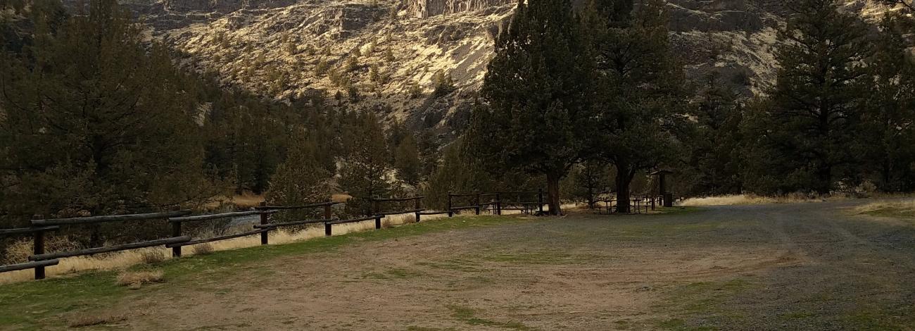
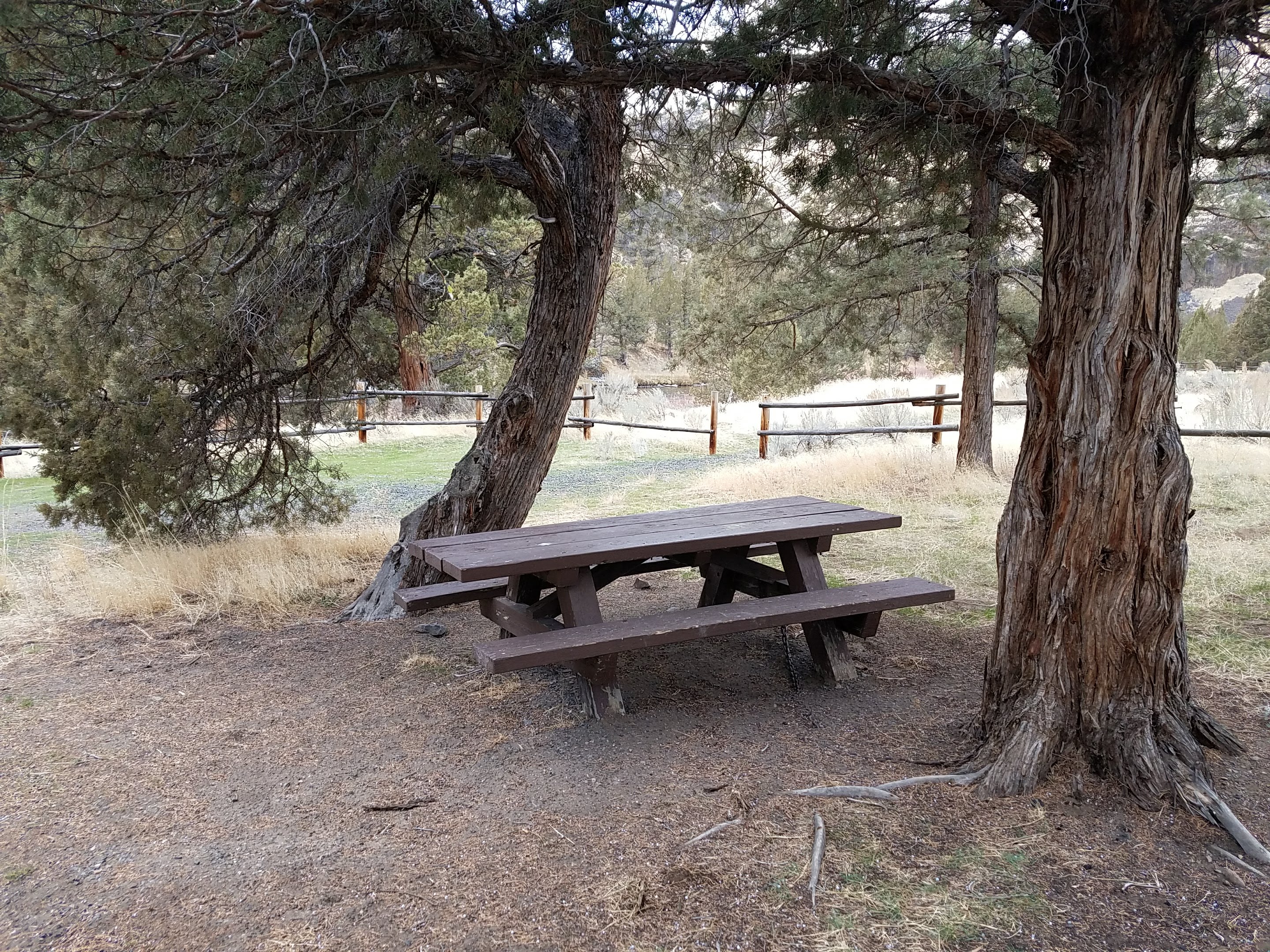
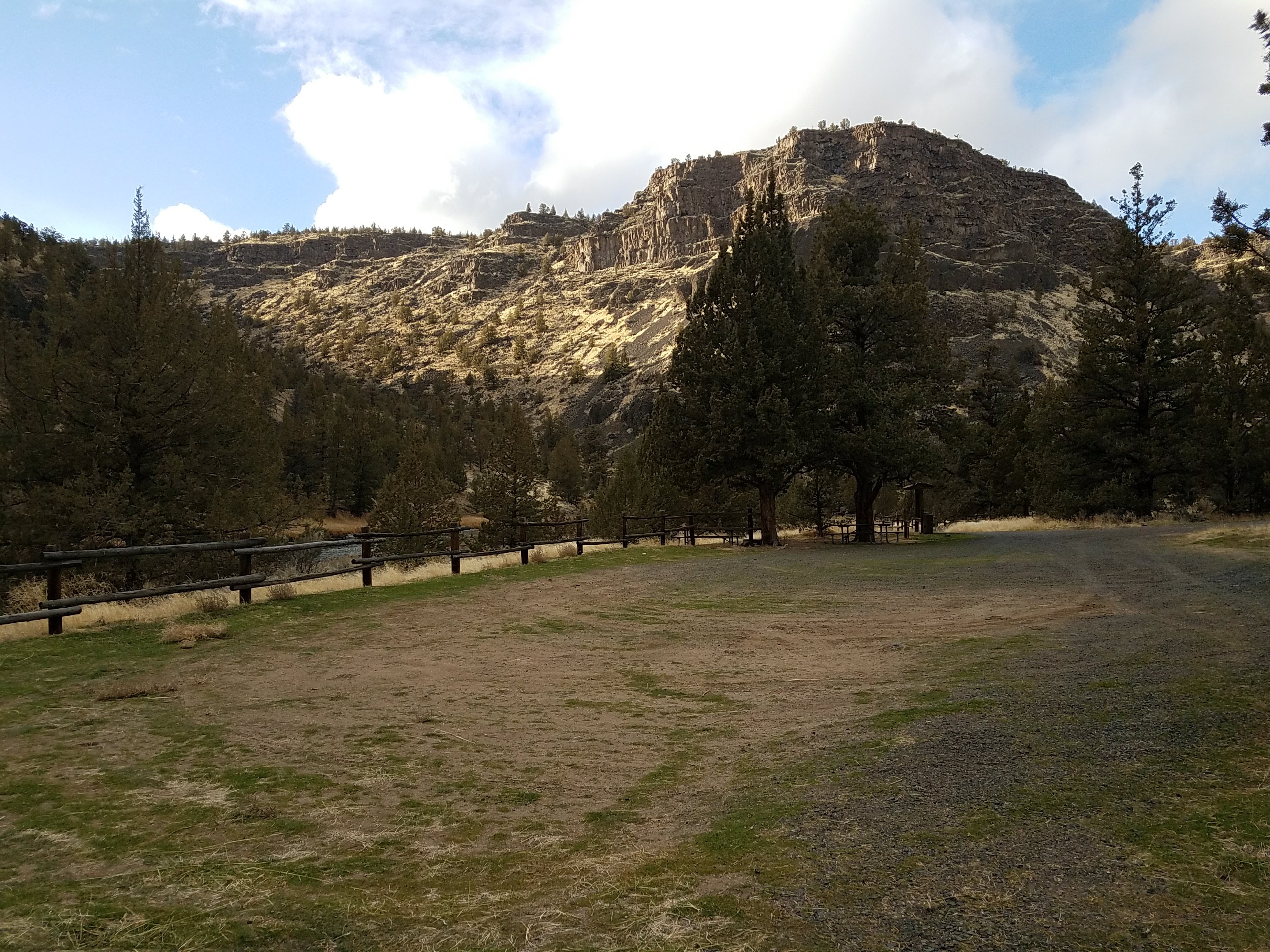
Situated just next to Lone Pine Campground, this small day-use area offers easy access to the Crooked Wild and Scenic River with trails both up and downriver of the site. Picnic tables and a vault toilet are available at the site.
Know Before You Go
- Open year-round for day-use only.
- Potable water is available year-round at Chimney Rock Campground, 1.6 miles miles west (upriver) on State Highway 27.
- Cell phone service is not available at the site.
- Watch for bicyclists: the section of State Highway 27 between Prineville and Bowman Dam is designated as the Crooked River Canyon Scenic Bikeway.
Point of Interest
Upper Lone Pine Day-Use Area is one of two fee-free day-use areas within the Chimney Rock segment of the Crooked River Wild and Scenic River corridor. Enjoy picnicking, fly-fishing and photography at the site.
Photos
Contact Us
This site is managed by Prineville District Office; visit their page for office hours and directions.

Activities


Addresses
Prineville District Office
3050 NE 3rd Street
Prineville
Oregon
97754
Geographic Coordinates
44.128706, -120.835923
Directions
From Prineville, Oregon: Drive 14.9 miles south on State Highway 27; the day use area will be on your right.
Fees
No Fees.
Stay Limit
Day-use only.