
Rogue Wild & Scenic River | Oregon
The United States Congress designated Oregon's Wild Rogue Wilderness in 1978 and it now has a total of 35,806 acres—approximately 27,111 are U.S. Forest Service lands and 8,600 are Bureau of Land Management (BLM) lands. The legislation assigned the U.S. Forest Service to manage the entire Wilderness Area.
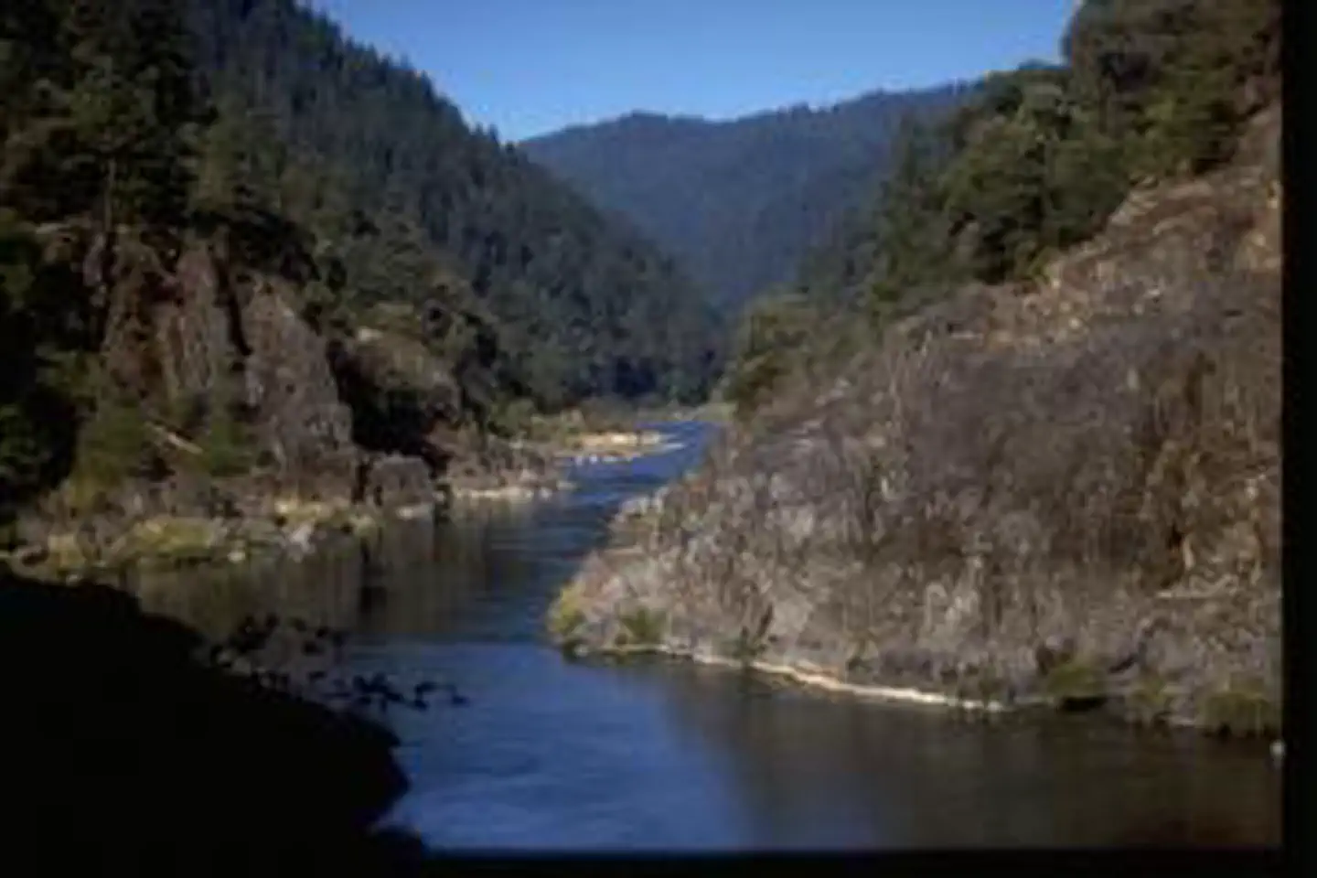
Surrounding the Wild and Scenic Rogue River, the rugged and complex canyon landscape of the Wild Rogue Wilderness provides watershed protection for the Wild portion of the river. The area is characterized by steep terrain of near vertical cliffs, razor-sharp ridges and cascading mountain creeks.
Know Before You Go
Along the river you may see deer and otters, or even black bears looking for a meal of salmon. Bears, grown accustomed to easy pickings from boaters, may prove a nuisance in numerous campsites. Birds abound, such as fish eating osprey and great blue heron and lizards hasten over the dry slopes above the water. Ticks and rattlesnakes are often encountered.
The river corridor is also excellent habitat for poison oak, whose stems and shiny leaves in groups of three can be a problem throughout the year. Mosquitoes are present during a good part of the season and yellow jackets can be a nuisance during the typically hot, rainless summer days.
Visitors can help in protecting this fragile ecosystem by adequately planning and by arriving prepared! Knowledge of the area, weather, terrain, and common sense can help to ensure you have a safe, fun, and memorable trip to the wild. Trail junctions are generally unsigned, so you should carry a map and a compass. And always, be sure to bring your ten essentials!
Photos
Contact Us

Activities


Addresses
Directions
Approximately 15 miles of the 40 mile Rogue River Trail #1160, a National Recreation Trail, provides year-round hiker only access to the river corridor from Graves Creek down to Big Bend near Illahe. The Panther Ridge Trail #1253 follows Panther Ridge from Clay Hill to Buck Point along the upper elevation of the northern wilderness border. A side trail provides access to the unique vista of Hanging Rock, which is a large rock outcrop on a sheer vertical cliff. It provides excellent views into Eden Valley and the Rogue River Canyon. Other outstanding views can be obtained from the Mt. Bolivar Trail #1259 which provides access to the summit of Mt. Bolivar at 4,319 feet. The Mule Creek Trail #1159, located on the Bureau of Land management portion of the wilderness, provides a steep route on an out mining trail between the river and Panther Ridge. In general cross country travel is not advised due to steep slopes and heavy vegetation. The Forest Service administers the entire wilderness, including the Bureau of Land Management portion, so Forest Service regulations apply wilderness-wide.