Muddy Mountain Environmental Education Area | Wyoming
The 1,260-acre Muddy Mountain Environmental Education Area (EEA) is a popular recreation area south of Casper. The 2-mile Interpretive Nature Trail connects the Lodgepole and Rim campgrounds. This accessible trail has 28 interpretive signs and 2 scenic overlooks providing of the valley below. Travel along this trail is reserved for hikers and visitors using mobility devices.
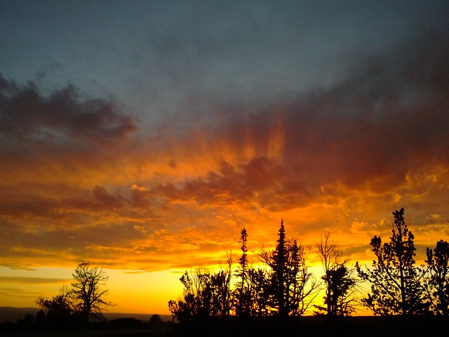
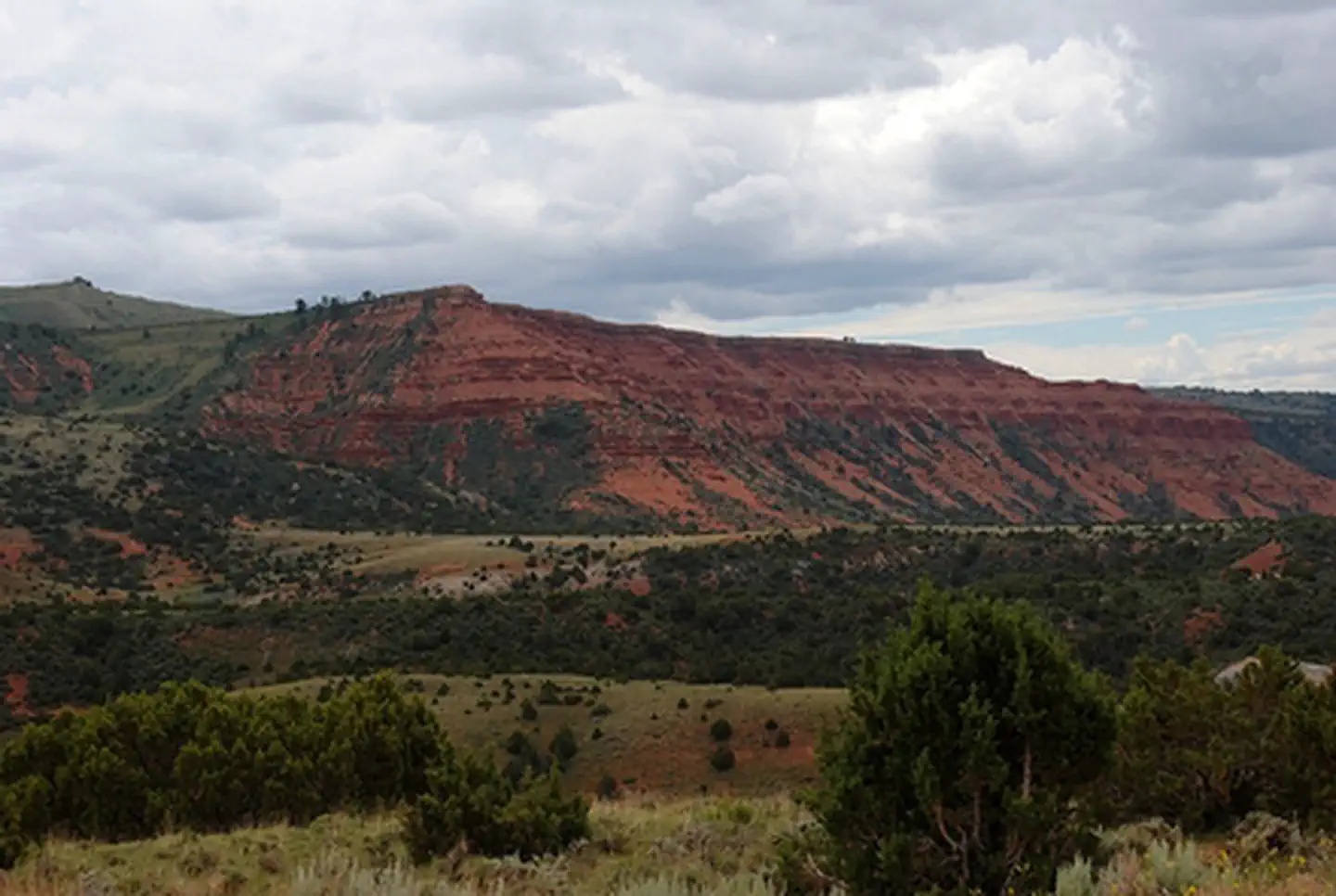
Opportunities for watching wildlife are favorable as forest, sagebrush, and grasslands provide habitat for blue grouse and fox, as well as deer, antelope, and elk.
The 700-acre natural area is restricted to non-motorized recreational activities such as mountain biking, hiking, and primitive camping. The trail system inside the natural area accommodates hikers, mountain bikers, and horseback enthusiasts. A small parking area is located in the north part of the site, just east of Rim Campground. Additional pedestrian gates are located along the eastern boundary.
The remainder of the EEA consists of multi-use trails and a general recreation area. The Corral Loop Road provides motorized access to most of this area. The multi-use trail can be used by snowmobiles in the winter and ATVs in the summer. Primitive, dispersed camping with no facilities is allowed in this area.
The 170-acre developed area meets ABA/ADA accessibility standards and includes the Rim and Lodgepole campgrounds which have a combined total of 23 campsites with picnic tables, fire rings, tent pads and trash receptacles. Potable water is available near the entrance to Lodgepole Campground. Vault toilets are located in each campground and at the trailhead to the Interpretive Nature Trail. Prices for camping: $7/night/site, $3/extra vehicle/night. Access Pass and Senior Pass holders receive half price. No charge for day use.
Access in the winter is limited to snowmachine/snowmobile via designated snowmobile trails by Wyoming State Trails. No full-size vehicular access is available in the winter/spring. Contact the Casper Field Office on status of roads in the area.
Photos
BLM Wyoming Know Before You Go
Accessibility Description (ABA/ADA)
View images of accessibility features in a new window.
This description is for the Muddy Mountain Environmental Education Area Interpretive Nature Trail. Descriptions of the accessible features for the Rim and Lodgepole campgrounds can be found here:
In addition to the main entrance in the northwest corner of the site, there are 3 gates on the east side that provide direct access to the Interpretive Nature Trail: gate 1 to the north and gates 2 and 3 to south. To close and open gates 1 and 3, you use a chain that wraps around a post and into a notch on the gate. Gate 2 has a chain that connects to a releasing latch on the top of the gate.
A small parking lot of compacted road-base gravel, with room for about a dozen vehicles, is located just east of Rim Campground, in the north part of the site. None of the spaces are marked as accessible but the entire lot should be appropriate for mobility device users.
A kiosk, an interpretive gazebo sitting on a concrete pad, and 2 accessible single vault toilets are located near the main entrance. Drinking water is available from a hydrant sitting on concrete at Lodgepole Campground, south of the main site entrance.
The 2-mile-long Interpretive Nature Trail connects Rim and Lodgepole campgrounds. This accessible trail, which is reserved for hikers and visitors using wheelchairs and other mobility devices, is 3 to 4 feet wide and relatively flat. Angled interpretive signs are scattered along the trail and provide information about the history and ecology of the area.
The Interpretive Nature Trail has 2 scenic overlooks. These have wooden decks, benches without arms, and protective railings.
Cell phone reception is spotty at this site.
Descriptions and photos uploaded July 2025. Please note that actual on-the-ground conditions may vary due to natural events (e.g., weather, wildfires, erosion), normal wear and tear, or site improvements.
Contact Us

Activities


Directions
From Casper, travel approximately 9 miles south on Wyoming Highway 251 to the top of Casper Mountain, where the state road ends but continues on as County Road 505. Continue for approximately 3 miles until the pavement ends, then continue an additional 2 miles to the intersection with Circle Drive (Natrona County Road 505). Continuing straight, follow the BLM gravel road for another 4.5 more miles to the EEA.
Fees
$7/night/site, $3/extra vehicle/night
Muddy Mountains Photos