Oakbrook Day Use Area

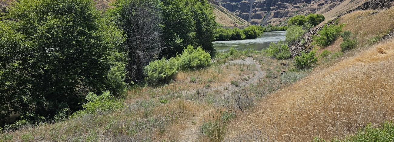
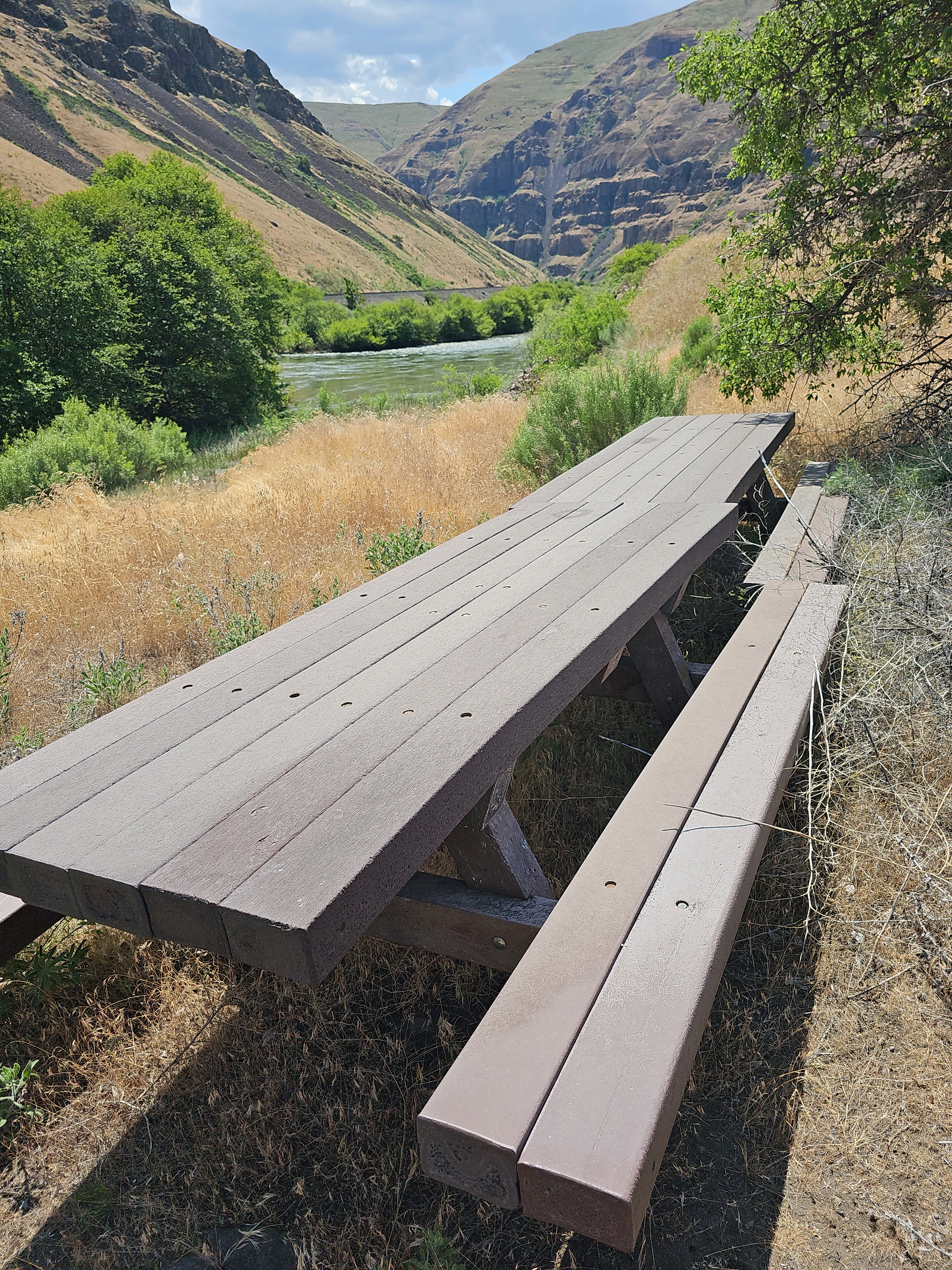
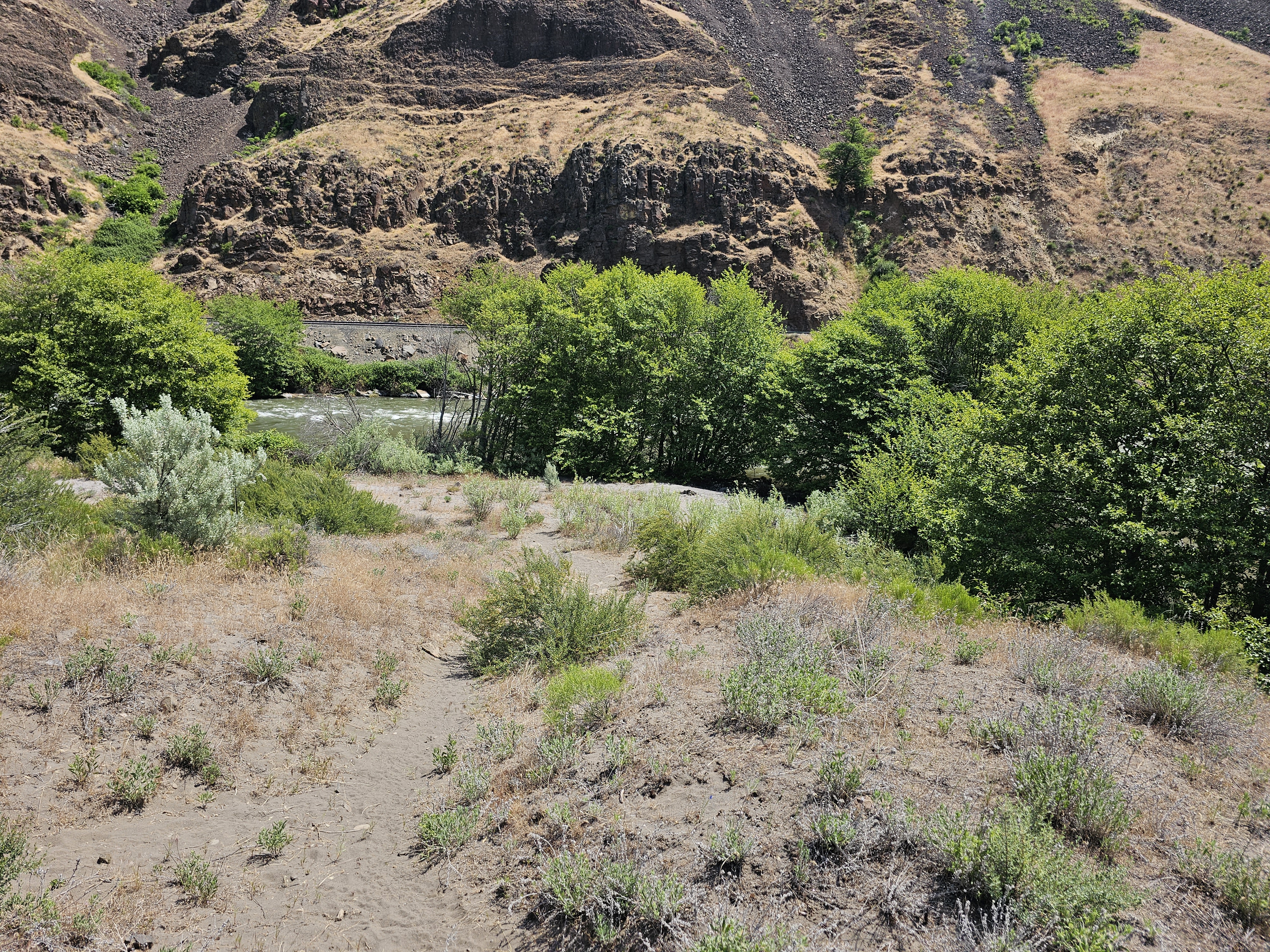
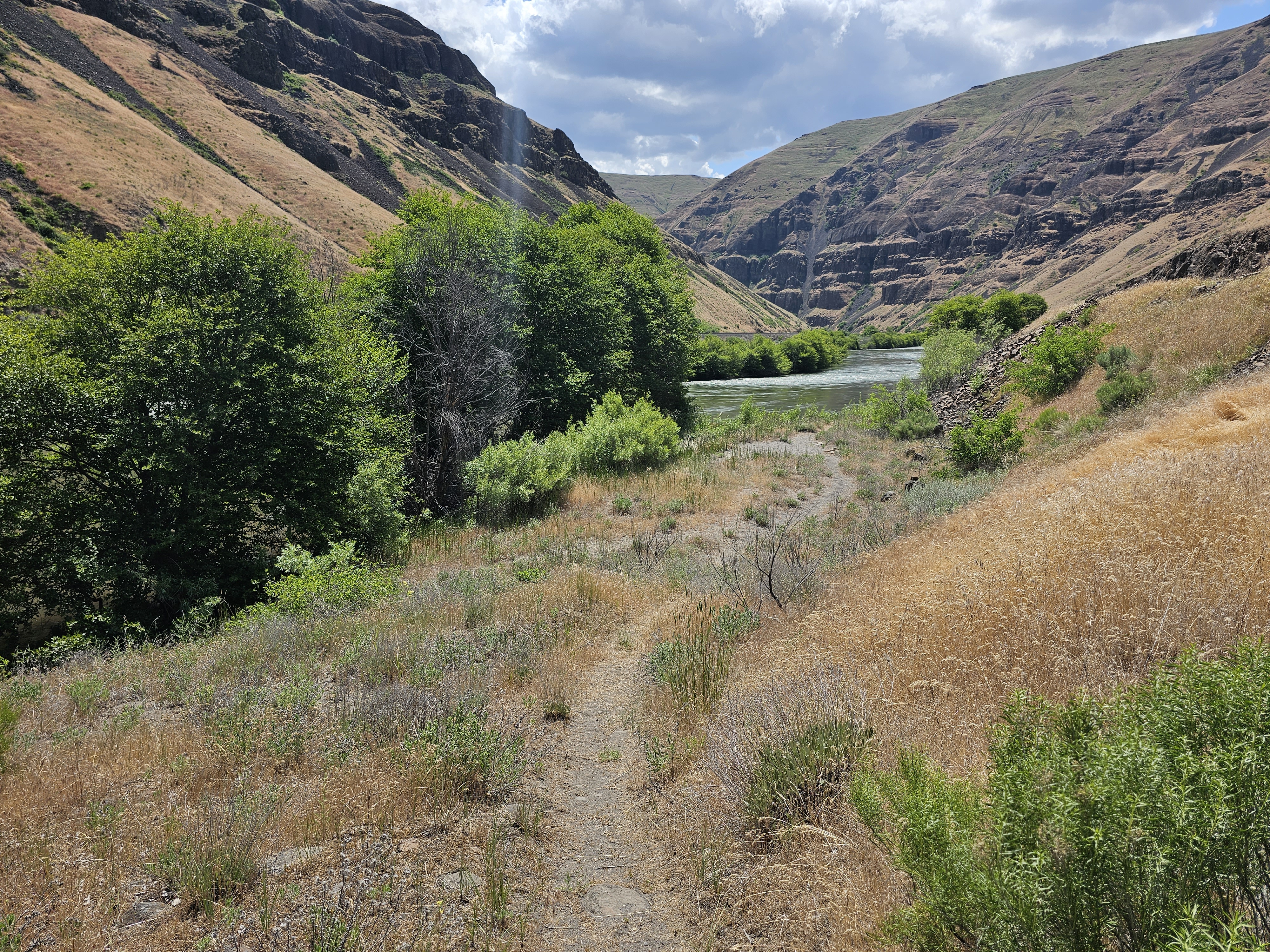
This quiet location provides a peaceful riverside sojourn along the Lower Deschutes River Back Country Byway. Short trails leading to the banks and a small beach on the Deschutes Wild and Scenic River offer opportunities for solitude only occasionally interrupted by the infrequent passage of freight trains on the opposite river bank.

Know Before You Go

  • Open year-round.
  • Picnic tables and a vault toilet are available.
  • Garbage service available.
  • Limited to no cell phone connectivity.

Photos

Picnic Tables and a view of the Deschutes River at Oakbrook Day Use Area
Trail leading to the Deschutes River at Oakbrook Day Use Area
Trail leading to a small beach on the Deschutes River at Oakbrook Day Use Area
Picnic Tables and a view of the Deschutes River at Oakbrook Day Use Area
Trail leading to the Deschutes River at Oakbrook Day Use Area
Trail leading to a small beach on the Deschutes River at Oakbrook Day Use Area
Picnic Tables and a view of the Deschutes River at Oakbrook Day Use Area
Trail leading to the Deschutes River at Oakbrook Day Use Area
Trail leading to a small beach on the Deschutes River at Oakbrook Day Use Area

Accessibility Description (ABA/ADA)

No accessible facilities.

Adventure is at Your Fingertips

Phone

Activities

Iconograph of a fish head and a fishing hook on a line
FISHING
Iconograph of three picnic tables
DAY USE AREA

Addresses

Prineville District Office
3050 NE 3rd St.
Prineville
Oregon
97754

Geographic Coordinates

45.31899, -120.97344

Directions

From Maupin, Oregon: Drive 8.2 miles north on the BLM Access Rd, (Lower Deschutes River Back Country Byway). Just beyond Sherars Falls, turn right on State Highway 216 and proceed for 0.5 mile. Turn left on the BLM Access Rd and drive another 6.5 miles; the day use area is on your left.

Fees

No fees.

Stay Limit

Day use only.