
Gardner Mountain Trail | Wyoming
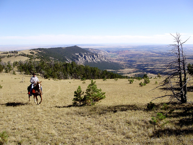
This trail is open to hikers, horseback riders, mountain bikers, and backcountry campers. The route ambles through a mountain meadow and then follows a ridgeline providing spectacular view of the Gardner Mountain Wilderness Study Area. The trail mostly follows old two-tracks and then dips down below the ridge before coming back up. The trail is not well-marked; be sure to carry a map and compass, and please respect private property boundary signs.
Photos
RECREATION SITES IN THIS AREA
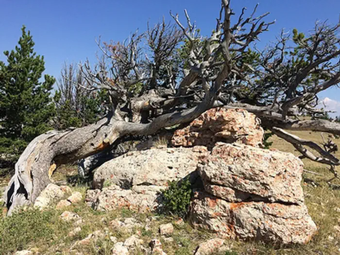
GARDNER MOUNTAIN TRAIL PHOTOS
BLM WYOMING KNOW BEFORE YOU GO
Contact Us
This site is managed by Buffalo Field Office; visit their page for office hours and directions.

Geographic Coordinates
43.84198, -106.943976
Directions
From Interstate 90, take exit 254 for Kaycee. Head west on WY-191/Mayoworth-Slip Road for approximately 14 miles. Fork left onto Slip Road and continue 6.7 miles up a series of switchbacks. Turn left at a two-track, almost at the top of the hill, and head downhill to the parking area.
Fees
No Fee.