
MOQUITH MOUNTAIN WILDERNESS STUDY AREA
Values
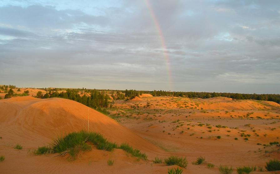
Five distinct landforms comprise the WSA. In the central part are the Vermilion Cliffs, a “step” in the Grand Staircase, the southern end of the High Plateaus of the Utah Section of the Colorado Plateau Physiographic Province. The north side of the Vermilion Cliffs terrace includes a portion of the Coral Pink Sand Dunes and an escarpment above the dunes. Moquith Mountain is a study in opposites. Its western edge is open sand dunes dotted with islands of vegetation. Its eastern edge is a series of deep canyons where Ponderosa pine and pinyon-juniper woodlands thrive from the rims to the floors of the canyon. In alcoves on the sides of these canyons, you can find hanging gardens and the sites of lost civilizations. In the spring-fed upper reaches of these canyons, you find a stunning array of plant life such as cottonwood, cliff rose, oaks and maples. The top of the mountain is forested.
Visitation Information
Located four miles west of Kanab. Note: OHV use is permitted only on primitive routes and on the open dunes.
Visitor Advisory
Visitors should come prepared for backcountry conditions and adequately prepare for their trip. Knowledge of weather, terrain, and physical conditions can help ensure safety.
Flickr Album
