
Sage Hen Hills Wilderness Study Area
The Sage Hen Hills Wilderness Study Area (WSA) (OR-1-146B) located in southwestern Harney County, Oregon, approximately 73 miles east of Lakeview, Oregon. The WSA includes 8,520 acres of BLM land. State Highway 140 is adjacent to the southwest corner of the WSA. The triangularly shaped study area is bounded by a high standard gravel road on the west and by a low standard dirt road on the northeast. A fence at the northern edge of the Charles Sheldon National Wildlife Refuge in Nevada forms the southern boundary of the WSA. The adjacent areas on the north, east and west are also public lands.
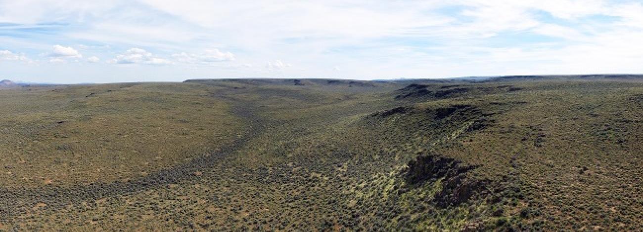
The WSA is characterized by low, rolling sagebrush hills with moderate topographic relief. Elevation is approximately 6,000 feet. A small canyon cuts across the central portion of the WSA. Vegetation in the WSA is a mixture of big and low communities.
The WSA was studied under Section 202 of the Federal Land Policy and Management Act (FLPMA) and was included in the Final Oregon Wilderness Environmental Impact Statement (EIS), filed in February 1990.


